ArcGIS Earth 1.0 Available
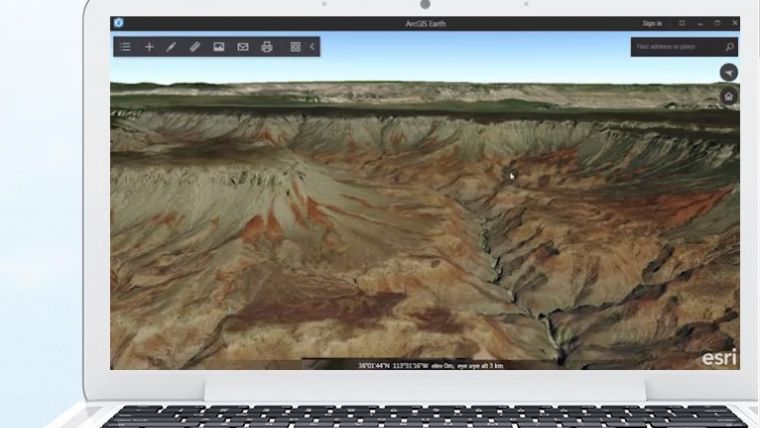
ArcGIS Earth 1.0 is now available from Esri. ArcGIS Earth is an interactive globe viewer that helps to explore any part of the world and work with 3D and 2D map data including KML. This lightweight desktop app was built specifically for users who need a user-friendly, consistent experience for browsing enterprise map data, quickly viewing files and communicating spatial information.
This release is the first, fully supported production release of the newest 3D product in the Esri ArcGIS platform. Earth will now begin a regular update cycle and Esri welcomes feedback as the basis for further improvements.
Own content
Any user can browse free Esri basemaps and imagery with Earth and add their own content from files or even some services, such as KML services. Users with Named User access can view private organisational data and premium content. Esri will be exploring more partner-provided premium content in the future and is constantly updating the free content in the Living Atlas.
More information and links, along with instructional videos, will be posted at https://blogs.esri.com/esri over the next few weeks.
ArcGIS Earth 1.0 is now available for free download at http://j.mp/Earth1_0
Source: Esri.

Value staying current with geomatics?
Stay on the map with our expertly curated newsletters.
We provide educational insights, industry updates, and inspiring stories to help you learn, grow, and reach your full potential in your field. Don't miss out - subscribe today and ensure you're always informed, educated, and inspired.
Choose your newsletter(s)


