FIG and Dutch Kadaster Launch Land Consolidation Event
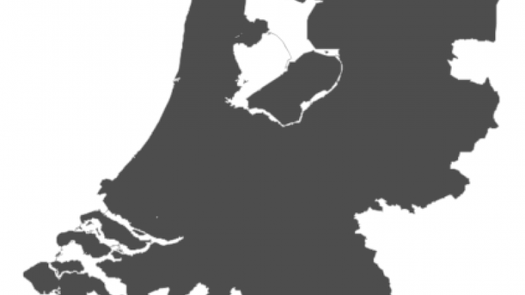
FIG and The Netherlands' Cadastre, Land Registry and Mapping Agency (Kadaster), in co-operation with FAO, have announced that they will be holding a Symposium on ‘Land Consolidation and Readjustment for Sustainable Development – Designing Resilient Landscapes and Empowering Communities’. This event will take place in The Netherlands in November 2016. The Symposium is aimed at scientists and practitioners from all over the world working in the field of land consolidation and land readjustment. The event is being organised to mark the celebration of 100 years of land consolidation in The Netherlands in 2016.
Today’s different forms of land consolidation have been shaped over time by socio-economic and cultural developments. Current developments continue to shape land consolidation and land readjustment, and their applications. The need for food security becomes urgent with an increasing global population and an increasing number of disasters due to climate change and political conflicts. An increasing population also needs more space and consumes more natural resources. The need for sustainable development of diverse, and often conflicting, land uses is therefore evident. Apart from existing practice, advanced technologies become more widely available to optimise spatial data use for spatial planning. Moreover, the need for public participation and bottom-up initiatives to empower citizens and communities becomes more evident in governance.
How do we respond to current developments with respect to urban and rural planning, the interrelation between both, and the available implementation instruments? This symposium will address the role of land consolidation and land readjustment in relation to the planning context, current developments, and expected challenges. It will give participants the opportunity to discuss strategies for sustainable development to design resilient landscapes that meet the needs of society.
More details will follow in due time.

Value staying current with geomatics?
Stay on the map with our expertly curated newsletters.
We provide educational insights, industry updates, and inspiring stories to help you learn, grow, and reach your full potential in your field. Don't miss out - subscribe today and ensure you're always informed, educated, and inspired.
Choose your newsletter(s)


