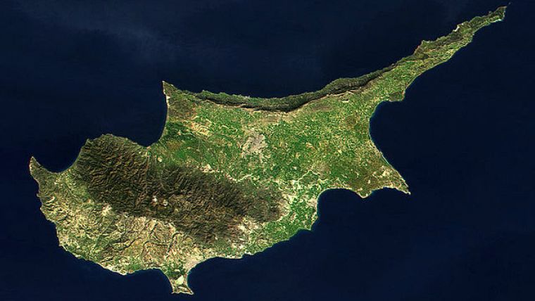
RSCy2016: Fourth International Conference on Remote Sensing and Geoinformation of Environment
The organising committee of the ‘Fourth International Conference on Remote Sensing and Geoinformation of Environment’ (RSCy2016) invites remote sensing professionals to join them in Paphos, Cyprus, from 4 to 8 April 2016 to network with leading experts in the field of remote sensing and geoinformation.
The keynote speakers and thought-provoking technical programme will encourage the exchange of ideas and provide the foundation for future collaboration and innovation. The technical programme is open to all topics in remote sensing and geo-information of environment and related techniques and applications.
The RSCY2016 scientific programme will accommodate sessions and workshops on a wide range of themes, including:
- Applications of remote sensing, geoinformation, geophysics
- Remote sensing & geo-information in education
- Oil exploration, oil and gas – hydrocarbons
- Marine spatial planning, coastal zone management
- Geoinformation for blue economy and blue growth
- Environmental monitoring and protection, risk assessment
- Field spectroscopy
- Cultural heritage, archaeology, crop marks
- Land use and land cover, land-cover changes degradation and desertification
- Artificial neural networks
- Urban remote sensing
- Oceans, coastal zones and inland waters
- Natural and man-made disasters, natural hazards
- Forestry and forest fires, burned areas
- Land survey, real estate, mapping of buildings/land for taxation
- Climate changes, meteorology, atmospheric chemistry, air pollution
- Water resources management, hydrology, hydraulics
- 3D remote sensing, radar, Lidar, thermal remote sensing
- New instruments and methods
- Laser Scanning, 3D-Modelling
- UAV applications, integrated UAV systems
- Agriculture, evapotranspiration, diseases
- Geology
- Radar remote sensing
- Security and defense
- Military applications
- Transport planning
|
Date for abstract submission : |
28 December 2015 |
|
Notification of authors for abstract acceptance: |
16 January 2016 |
|
Submission due date for full papers: |
15 February 2016 |
Please go to the RSCy2016 website for information and submission guidelines
http://www.cyprusremotesensing.com/rscy2016/

Value staying current with geomatics?
Stay on the map with our expertly curated newsletters.
We provide educational insights, industry updates, and inspiring stories to help you learn, grow, and reach your full potential in your field. Don't miss out - subscribe today and ensure you're always informed, educated, and inspired.
Choose your newsletter(s)


