Improved Quality of Reality Modelling within Geospatial Workflows
Bentley Systems has announced general access to the latest release of ContextCapture and ContextCapture Center. This release enhances the accessibility, scale, and quality of reality models that can be produced for use in BIM and geospatial workflows.
Key capabilities include:
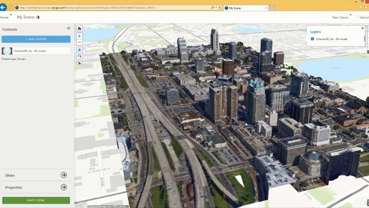
- New multi-resolution mesh support for third-party formats including Esri i3s, Google Earth KML, SpaceEyes3D, OSGB (OpenSceneGraph), and LODTreeExport formats.
- Multi-resolution mesh support for ContextCapture’s native 3MX format.
- A threefold increase from 30 to 100 gigapixels of imagery that can be processed with ContextCapture.
Expansion
The expansion of multi-resolution format support enables ContextCapture to provide improved quality and performance of reality modelling data within geospatial workflows, particularly valuable for the large community of ArcGIS and other geospatial users. These users can now reduce the cost and time for reality capture and increase accessibility of reality data throughout projects and among enterprise stakeholders.
The expansion in processing capacity to 100 gigapixels for ContextCapture makes it affordable and easier to produce larger models and 3D meshes with high fidelity and cm level precision, even at scales as large as entire cities (kilometre scale models).
The software allows to easily process hundreds of images taken by UAV or handheld digital camera into a 3D reality mesh that can then be consumed inside Bentley OpenRoads products to speed civil engineering design work.
Reality meshes
Santanu Das, senior vice president, design modelling at Bentley Systems said with this release of ContextCapture, reality meshes are now more accessible throughout ArcGIS workflows as well as Bentley’s native V8i design modelling workflows including those using OpenRoads, AECOsim, and OpenPlant. Through the advances in integrating reality models of any scale into geospatial workflows, GIS professionals, particularly those using Esri ArcGIS products, can now affordably incorporate high-fidelity models of the real world into their existing GIS datasets.

Value staying current with geomatics?
Stay on the map with our expertly curated newsletters.
We provide educational insights, industry updates, and inspiring stories to help you learn, grow, and reach your full potential in your field. Don't miss out - subscribe today and ensure you're always informed, educated, and inspired.
Choose your newsletter(s)


