Italy's Aerial Imagery Archive Re-launched
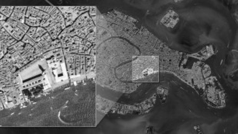
After a series of extensive updates, the Italian online aerial photography archive known as Terraitaly has been re-launched. The huge aerial portal, which allows anyone to quickly and easily purchase aerial imagery at the click of a button, contains imagery dating back to 1969.
Terraitaly is an important archive for many building surveyors, architects, civil engineers and private consumers looking for both recent and historical high resolution ortho-rectified images of Italian territories.
Terraitaly has been rebuilt from the ground up using Blom’s all-in-one web

Value staying current with geomatics?
Stay on the map with our expertly curated newsletters.
We provide educational insights, industry updates, and inspiring stories to help you learn, grow, and reach your full potential in your field. Don't miss out - subscribe today and ensure you're always informed, educated, and inspired.
Choose your newsletter(s)


