New FIG Publications
Eight new FIG Publications were launched during the FIG Congress in Sydney in April 2010. All are of great interest to the profession and have since received wide recognition.
FIG-WB and e-Learning
FIG Publication No. 45 is the fruit of the joint FIG-World Bank Conference on Land Governance in Support of the Millennium Development Goals: Responding to New Challenges, held at World Bank Headquarters in Washington DC in March 2009. The publication includes a report identifying conference highlights, ways ahead, and a concluding declaration from the meeting. The past fifty years have seen computers effect a total change in the way surveyors work. As usual, thinking always lags a little behind the possibilities. The aim of FIG Publication No. 46: Enhancing Surveying Education through e-Learning is to help academia and the survey industry to more quickly make the transformation from traditional teaching and learning to e-learning.
Capacity Building and Cities
Publication No. 47 is entitled Institutional and Organisational Development. FIG has committed itself and its members to further progress in building institutional and organisational capacity in support of effective land administration systems. FIG Publication No. 48: Rapid Urbanisation and Mega Cities: the Need for Spatial Information Management is a research study the particular focus of which has been on identifying spatial tools and general principles, norms and standards for good governance using reliable and accessible spatial information and providing guidance for interested countries to successfully address the problem of rapid urbanisation.
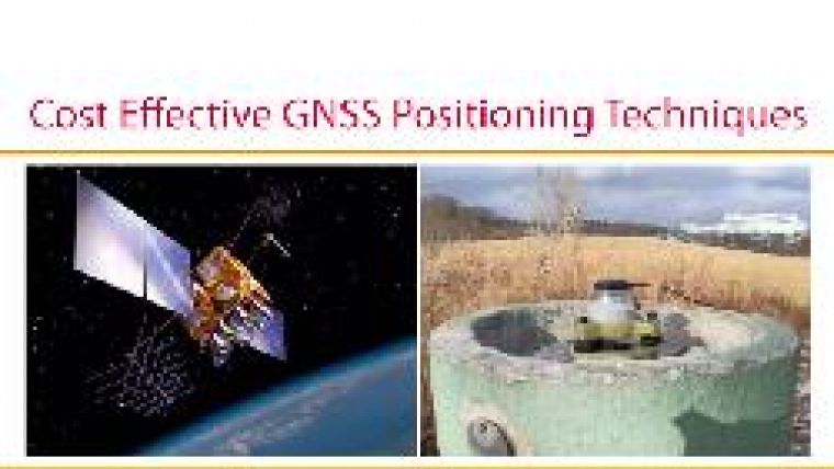
Cost-effective GNSS
Of the utmost importance is Publication No. 49, on Cost-effective GNSS Positioning Techniques. Two possibilities exist for economising on resources. The first pertains to a reference site or a network of reference stations; the second primarily concentrates on the rover or users' side. In the first instance, we focus initially on Continuously Operating References Station (CORS) networks that provide users with reference site(s) data and metadata. For the second, the report proposes the use of low-cost (below EUR150) GNSS receivers rather than high-end, geodetic-quality ones. An overview of GNSS and geodetic positioning is followed by presentation of both approaches and the opportunities offered by each.
History, Hanoi and STDM
The publication History of Surveying addresses a field that has been part of FIG work since its establishment more than 130 years ago. FIG Publication No. 51 concerns the Hanoi Declaration: Land Acquisition in Emerging Economies. And last but not least, No. 52 covers The Social Tenure Domain Model: A Pro-poor Land Tool. This is an approach to achieving full-coverage land administration. The FIG Report presents the need for STDM, its properties as a tool, and the benefit and use of STDM as a key means of meeting the Millennium Development Goals (MDGs).

Value staying current with geomatics?
Stay on the map with our expertly curated newsletters.
We provide educational insights, industry updates, and inspiring stories to help you learn, grow, and reach your full potential in your field. Don't miss out - subscribe today and ensure you're always informed, educated, and inspired.
Choose your newsletter(s)


