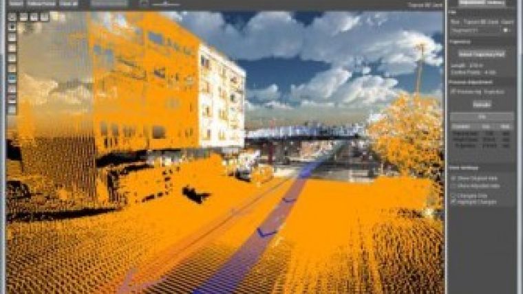
Orbit GT Presents Mobile Mapping Trajectory Adjustment at ILMF
Orbit GeoSpatial Technologies has announced the presentation of all-new trajectory adjustment tools for mobile mapping content at this year’s ILMF in Denver, Colorado, USA. According to the Belgium-based company, trajectory adjustment allows all data collectors and owners to adjust the positional accuracy with ease and control, resulting in higher precision and reliability.
Since Orbit’s mobile mapping portfolio supports all mobile mapping systems on the market, this tool is arguably a must-have for all system and data owners, said Peter Bonne, vice-president business development and senior product manager at Orbit GT. In any mobile mapping data collection activity, positional accuracy is key and at the same time a variable value. This tool allows the data manager to selectively determine the stretches of data that require adjustment, apply and check, and process this adjustment to point cloud, spherical and planar imagery.
A graph representing positional accuracy offers immediate insight and allows the data manager to determine which stretches of data need adjustment. Using ground control points, a selective correction is measured. Orbit then calculates the adjusted trajectory just for this stretch. Switch views between original and adjusted data to check the result. Then move on to the next stretch and process all data at the end.
The trajectory adjustment tool is an add-on to the Orbit Mobile Mapping Manager solution.

Value staying current with geomatics?
Stay on the map with our expertly curated newsletters.
We provide educational insights, industry updates, and inspiring stories to help you learn, grow, and reach your full potential in your field. Don't miss out - subscribe today and ensure you're always informed, educated, and inspired.
Choose your newsletter(s)


