Rwanda Launches First-ever Land-use Portal in Africa
Thanks to a new website called the National Land Use Planning Portal (NLUPP), Rwandans connected to the internet now have easy access to land-use plans and other spatial data on the web, thus decreasing the time it takes to find such maps and documents. Built on Esri's ArcGIS platform by the Rwanda Natural Resources Authority with the support of the United States Agency for International Development (USAID), NLUPP is the first portal of its kind on the African continent.
Transparency and making data accessible for the public to use are an important aspect of democracy, said Emily Krunic, director of democracy and good governance at USAID in Rwanda. Open data makes space for meaningful input from the public, civil society, and the private sector and gives those groups and policymakers access to data to inform civic discussion and policy.
Data availability
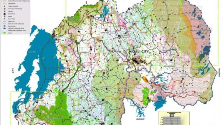
Over the past several years, Rwanda has embarked on developing land-use plans at the national and district levels as well as for urban centres. NLUPP now makes this information available and accessible to all Rwandans. The portal is designed to enhance transparency and provide Rwanda's citizens with information on how best to use their land, while also providing professionals with the tools and data they need to plan for sustainable development of the country and conduct land-use analysis.
The portal eases the discovery process even for those without internet access. Local leaders use the resource to assist residents in obtaining current maps and records, which is still much faster than the previous method of flipping through map books and rummaging through file cabinets for information and then making scans and photocopies.
Digitalisation
Land agencies are increasingly using Esri's commercial off-the-shelf (COTS) products to digitise and serve their maps and all land-related information. NLUPP serves as a model for other planned land-use portals on the African continent.
Visit the National Land Use Planning Portal here: rwandalanduse.rnra.rw.

Value staying current with geomatics?
Stay on the map with our expertly curated newsletters.
We provide educational insights, industry updates, and inspiring stories to help you learn, grow, and reach your full potential in your field. Don't miss out - subscribe today and ensure you're always informed, educated, and inspired.
Choose your newsletter(s)


