Terrasar-X Performance Confirmed
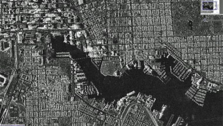
The accuracy defined in the TerraSAR-X data product specifications has now been confirmed by the Civil and Commercial Applications Project (CCAP) Group within the National Geospatial-Intelligence Agency (NGA): The group published the results of their geolocation accuracy evaluation of TerraSAR-X radar satellite imagery during the ASPRS Annual Conference in Baltimore (MD, USA), held from 9 to 13 March 2009.
In a contribution titled "Geometric Precision in Space Radar Imaging: Results from TerraSAR-X", Thomas P. Ager, NGA System Engineer for Radar, and his co-author Paul Bresnahan of Observera Inc. describe the evaluation processes and parameters applied to 13 high-resolution SpotLight and another 13 StripMap acquisitions. These were collected in single-polarization (VV) mode, generated as Multi-look Ground-range Detected (MGD) products with Spatially-Enhanced (SE) processing, and included the rapid orbit metadata.
Ager confirms that "the results of this evaluation are consistent with the accuracy values listed in the product specification", and even adds that "it is plausible that the TerraSAR-X accuracy is even better".
Orbit errors are as small as 20 centimetres for routine images available within 1 day of collection, and range errors of well under 1 metre are verified. NGA's CCAP regularly performs geolocation accuracy evaluations for civil and commercial imagery being purchased or considered for purchase by the Agency.

Value staying current with geomatics?
Stay on the map with our expertly curated newsletters.
We provide educational insights, industry updates, and inspiring stories to help you learn, grow, and reach your full potential in your field. Don't miss out - subscribe today and ensure you're always informed, educated, and inspired.
Choose your newsletter(s)


