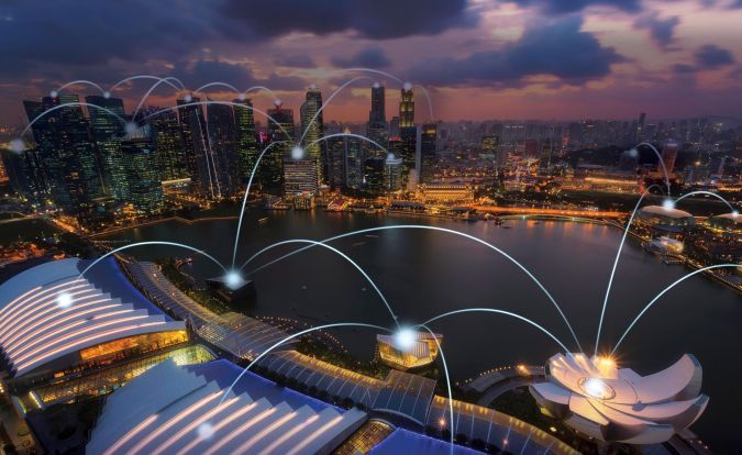
In the last couple of decades, many cities around the world have adopted new innovative technologies to help them address some of the most fundamental challenges of the 21st century. More and more cities are becoming what is often referred to as 'smarter', by utilizing a wide range of emerging technologies that collect, analyse, monitor and communicate information to enable the efficient delivery of essential services, improve people’s quality of life, and allow a more effective city governance.
Recognizing the potential of integrated technologies to improve governance efficiency, social and human capital and people's well-being, nations are now also aiming to become 'smarter'. In 2014, Singapore announced that it will become the first smart nation that connects “everything and everybody everywhere all the time”[1] in order to “support better living, create more opportunities, and support stronger communities for people to live, work and play in…”. Nations are increasingly understanding the potential of integrated and disruptive technologies to support economic growth, efficiency and productivity and to improve their citizen`s quality of life.
Geospatial data and spatially aware technologies are key for a smart nation. Almost every aspect of a nation has a spatial component, from transportation networks, utility lines and critical infrastructure, to cadastral records, land cover and land use, and exposure to risks and hazards. Monitoring and understanding our ever-changing natural and human landscapes require continual collection, storage, processing, integration, synthesis and dissemination of big (geo) data. This is effectively already being done. Ground and remote sensors constantly measure and collect climatological and environmental data, such as the quality of the water, air and soil; mobile phones and GPS devices collect data on movement of people; cameras constantly monitor the functionality of critical infrastructure; sensors on board satellites, airborne and UAVs capture almost every location in a nation, monitoring economic activity and agriculture land productivity; stream gauges help track the impacts of floods on vulnerable populations; while Volunteered Geographic Information is constantly collected and contributed by volunteers, complementing (or replacing) traditional data sources. Leveraging this constant flow of disparate data while ensuring all aspects related to privacy and security, transparency and information accessibility presents technical challenges, but shows great promise to help make nations more sustainable, competitive and efficient with intelligent exchanges of information that eventually improve the livelihood of people.

Such technologies can help, for example, increase the accessibility of remote and isolated communities to financial institutions, health care and welfare services, improve accessibility to education, improve the effectiveness of public transportation and the functionality of utility lines and critical infrastructure. If utilized correctly (and safely), smart technologies can eventually improve the well-being of citizens.
Importantly, the concept of the smart nation should be viewed in the context of the 2030 Agenda for Sustainable Development, which reflects an urgent call for action by all countries – developed and developing – in a global partnership for peace and prosperity for people and the planet, now and into the future. At the heart of the SDGs is the guiding principle of “ending poverty and other deprivations”. By becoming 'smarter' in integrating this vast amount of geospatial data, nations will be able to understand, monitor and achieve the 2030 SDGs. New possibilities emerge for harnessing this data to achieve a better understanding of our changing world, to improve decision-making, guide policy, deliver services, and promote a more informed governance that will provide the framework to drive sustainable policies and programmes in close to real time.
But still, the road towards becoming a 'smart world' is also challenging, and as suggested by UNCTAD secretary-general Mukhisa Kituyi, there is great risk of the digital divide widening further, and with it the ability of developing countries to harness science, technology and innovation for their own development. Smart nations must put human and social capital at the front, ensure equality and inclusion, transparency, safety and privacy.
[1] Seng, C. E. (2016, June). Singapore's smart nation program—Enablers and challenges. In 2016 11th System of Systems Engineering Conference (SoSE) (pp. 1-5). IEEE
Further Reading
Batty, Michael. (2016). Big Data and the City. Built Environment. 42. 321-337(17). 10.2148/benv.42.3.321.
Goldblatt, R. (2018). Artificial Intelligence for Smart Cities and Sustainable Urban System. GIM International.
Pitts, R. K. (2013) Geospatial Data Integration Challenges & Considerations. Sensors and Systems, November 2013.
UN 2030 Sustainable Development Goals

