OmniEarth and Nearmap Join Forces
OmniEarth, specialised in Earth observation and geoanalytics, has entered into partnership with Nearmap for nationwide high-resolution aerial imagery in the USA in support of its planned expansion of analytics products. Nearmap, which has increased its American coverage over the past two years, captures imagery for nearly 70% of the US population at 7.1cm ground sample distance (GSD).
The Nearmap agreement provides a crucial component of OmniEarth’s expansion strategy. OmniEarth is expanding their core OmniParcel knowledge base nationwide and integrating OmniParcels into products beyond water management, such as the insurance and asset monitoring industries. OmniParcels contains the core data behind the company’s successful water resource management analytics.
Artificial intelligence
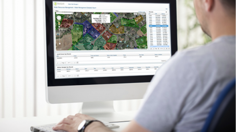
Proprietary machine-learning algorithms and artificial intelligence (AI) techniques allow OmniEarth to quickly and very accurately analyse imagery over large areas on a parcel-by-parcel basis, but lack of high-resolution imagery was limiting their ability to scale nationwide. Before the agreement, OmniEarth was chartering aerial imagery on an as-needed basis – which is impractical for nationwide coverage. According to company president and CEO, Lars Dyrud, the Nearmap agreement gives subscribers unprecedented insight and clarity. The land classification accuracy averages between 95-99%, but requires extremely high-resolution imagery to highlight property details.
Commenting on the new teaming arrangement, Patrick Quigley, senior vice president and general manager for Nearmap US said, The agreement with OmniEarth not only validates their expansion into the US market, it also reinforces the need for current, clear imagery by decision makers. AI solutions, like OmniEarth’s water management tools, give organisations new insights. For example, incorporation of imagery that is updated frequently and within days of capture allows OmniEarth’s water management users to identify and audit conservation efforts, such as turf removal and changes in irrigation.
OmniEarth’s water resource products, launched last year, are already being used throughout California, including the City of Folsom and the East Bay Municipal Water District.

Value staying current with geomatics?
Stay on the map with our expertly curated newsletters.
We provide educational insights, industry updates, and inspiring stories to help you learn, grow, and reach your full potential in your field. Don't miss out - subscribe today and ensure you're always informed, educated, and inspired.
Choose your newsletter(s)


