Pix4D and Parrot Present New UAV Solution
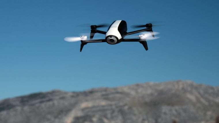
UAV manufacturer Parrot and mapping software developer Pix4D recently presented their new drone solution for 3D modelling at the MIPIM conference in Cannes, France. Pix4D’s flight planning mobile app can now fly Parrot’s Bebop 2 UAV, enabling automatic capture of images of buildings for creation of digital 3D models using Pix4D software.
The 500g Bebop UAV, when used with the Pix4Dcapture mobile flight planning app, automatically scans selected areas by taking images customised for Pix4Dmapper Mesh desktop software, where they are processed to produce photorealistic 3D models.
Thanks to the software, it can generate beautiful and interesting 3D models for real estate applications and even be used to 3D-print your house, said Christoph Strecha, founder and CEO of Pix4D. Bebop 2 and Pix4D bring an excellent prosumer level of 3D models to real estate agents or asset managers, derived from proven experience with professional UAVs and Pix4Dmapper Pro, he added.
Realtors can now easily create 3D models by themselves, publish them online, and show them to prospective buyers for a 3D experience of the property.
For more information see here or watch this video.

Value staying current with geomatics?
Stay on the map with our expertly curated newsletters.
We provide educational insights, industry updates, and inspiring stories to help you learn, grow, and reach your full potential in your field. Don't miss out - subscribe today and ensure you're always informed, educated, and inspired.
Choose your newsletter(s)


