Laser Scanning Solutions for Glacier Exploration
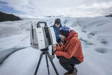
“Look deep into nature, and then you will understand everything better,” Albert Einstein is quoted as saying. And indeed, looking deep into glaciers can help us understand climate change. But glac...
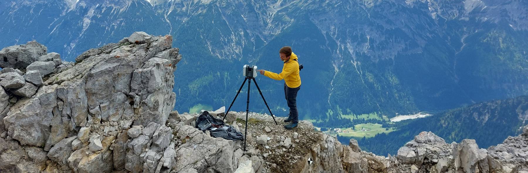
GIM International's "Case Studies" section delivers comprehensive examinations of actual geospatial projects. These studies shed light on the hands-on use of technologies and methodologies in the geospatial realm, empowering professionals to address obstacles efficiently and catalyze innovation. (Image courtesy: Christoph Holst/Technical University of Munich)
 Article
“Look deep into nature, and then you will understand everything better,” Albert Einstein is quoted as saying. And indeed, looking deep into glaciers can help us understand climate change. But glac...
 3D Modelling Insights
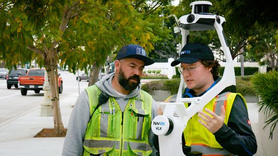
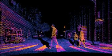
Planning, disaster management, and safety challenges inherent in complex urban environments call for innovative solutions. Researchers around the world are progressing the field, drawing upon cutting-...
 Case Study
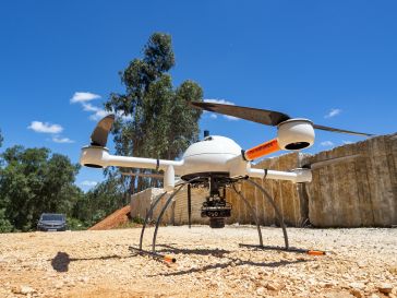
Mapping 21 Quarries in 60 Days The mission was to capture 21 quarries in 60 days. Squeezed into that timeframe were planning and performing the UAV photogrammetry flights, editing the RAW images, proc...
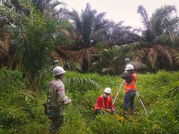
The latest GNSS technologies from CHCNAV have been used in combination with vocational training on the island of Sumatra to improve the productivity of surveying activities and hence contribute to loc...
 DISTRIBUTORS WANTED
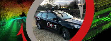
Succeed With Confidence As Part of OxTS' Global Network OxTS has grown rapidly over the last few years and we are looking for distributors to join our network. At OxTS, we have dedicated ourselves to ...
Hydrographic surveying in lakes and canal regions has not been an easy job in the past. Due to a lack of professional and portable surveying equipment and mobile platforms, the precision and accuracy ...
It can be difficult to get the most out of point clouds, and precise classification is a costly, labour-intensive undertaking. There should be a tool that makes it easier… and now there is, thanks t...
 Case Study
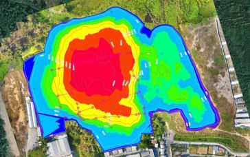
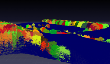
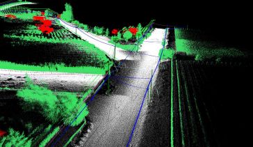
Both vehicle-based and UAV-based Lidar systems from Routescene have been used in a survey to prepare for the replacement of aging power lines in Oliver, British Columbia, Canada. Electricity distribut...
 Definitive Guide
Simultaneous localization and mapping (SLAM) is not a specific software application, or even one single algorithm. SLAM is a broad term for a technological process, developed in the 1980s, that enable...
 Customer Use Case
An inertial navigation system (INS) is a critical part of a surveyor’s armoury. The measurements provided by the INS, including heading, pitch/roll, timing and absolute position, ensure that surveyo...

Having been active in the geospatial industry for over 20 years, Hi-Target has gained a strong reputation in the global market and established a network of 64 subsidiaries, 28 branches and more than 2...
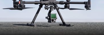
The Zenmuse L1 is the first Lidar payload developed by DJI, integrating a Livox Lidar module, a high-accuracy IMU and a camera with a 1-inch CMOS on a 3-axis stabilized gimbal. The L1 delivers enhance...
This site uses cookies. By continuing to use this website, you agree to our Cookies Policy. Agree