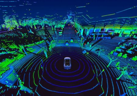
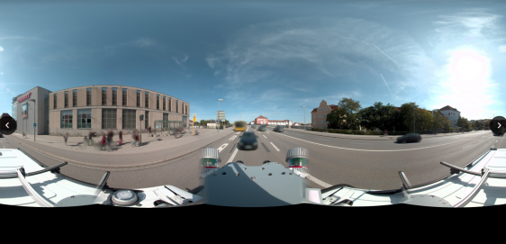
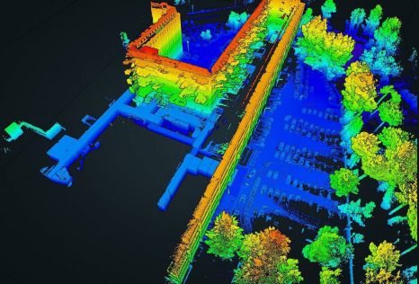
laser scanningKinematic laser scanning in assessing urban land use and utility infrastructureSeptember 28, 2020
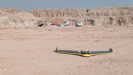
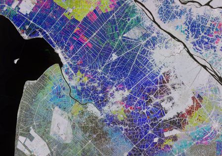
satellite imageryThe 123 of AEC: Renewing the Architecture, Engineering and Construction Industry with Satellite ImagerySeptember 8, 2020