About us
Contact
Advertise
Join our newsletter
Product Showcase
Browse by topic
Land surveying
Cartography / GIS
Remote sensing
Positioning
Urban planning
Construction & Engineering
Lidar
Articles
News
Case studies
Members
Events
Videos
Magazine
Features
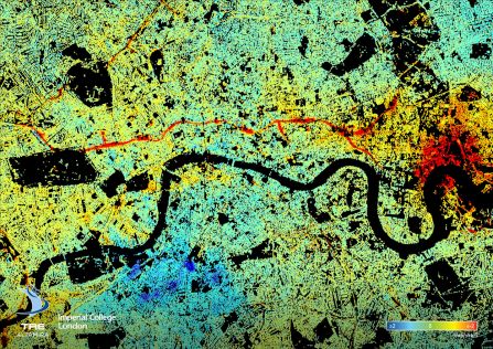
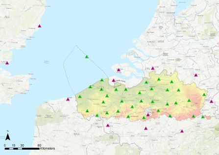
InSAR
InSAR used to create ground stability maps
June 29, 2020
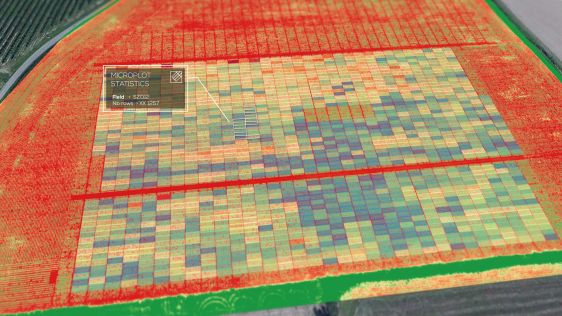
agriculture
The Benefits of Visual Intelligence Solutions in Agriculture and Forestry
June 4, 2020
InSAR
Satellites for Multiple Asset Structural Monitoring
June 3, 2020
geospatial
Expanding Horizons: Geospatial Predictions for the Coming Years
June 2, 2020
Business
Modernization of Suriname’s Public Domain Cadastre
May 28, 2020
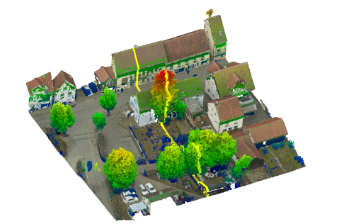
Lidar
Integrating UAV-based Lidar and photogrammetry
May 19, 2020
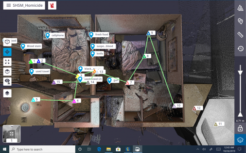
location
How 3D scanning rebuilds crime scenes for courtrooms
May 13, 2020
Trimble
The Evolution of FLEPOS 3.0
May 7, 2020
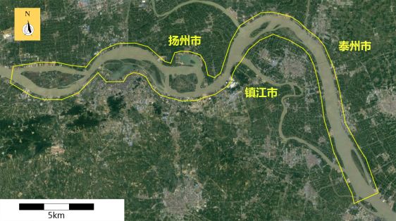
drone
Mapping the Yangtze River
May 7, 2020
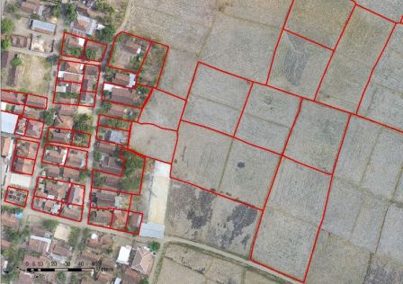
land administration
How Geospatial Surveying Is Driving Land Administration
April 29, 2020
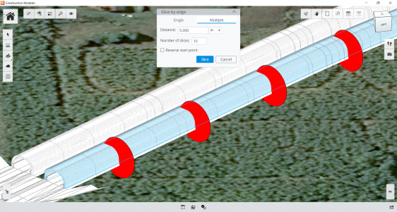
Construction
What is 4D Construction?
April 23, 2020
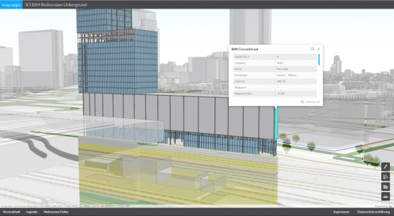
BIM
Interoperable Data Exchange – A Key Factor for BIM
April 23, 2020
land administration
COVID-19, the Land Administration Sector and Spatial Information
April 22, 2020
Construction
Achieving Higher Accuracy in Construction Projects in a Shorter Time
April 16, 2020
←
Prev
9
10
11
12
13
Next
→
Browse by topic
Land surveying
Cartography / GIS
Remote sensing
Positioning
Urban planning
Construction & Engineering
Lidar
Articles
News
Case studies
Members
Events
Videos
Magazine
This site uses cookies. By continuing to use this website, you agree to our
Cookies Policy
.
Agree