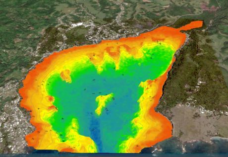
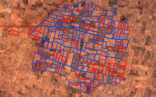
satellite-derived bathymetrySatellite-derived bathymetry for surveying Jamaica’s coastal watersMarch 29, 2022
geospatial industryHow to Capitalize on the Opportunities in the Golden Era of GeospatialFebruary 16, 2022
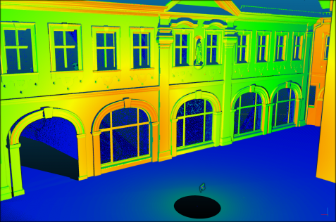
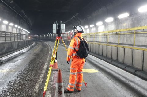
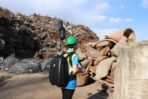
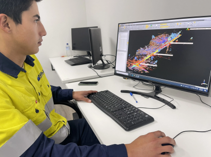
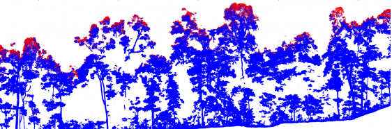
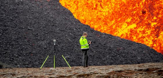
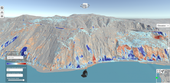
LidarUpscaling of terrestrial laser scanning through fusion with remote sensing dataDecember 22, 2021