UAS and Flooding
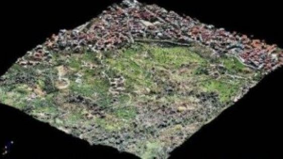
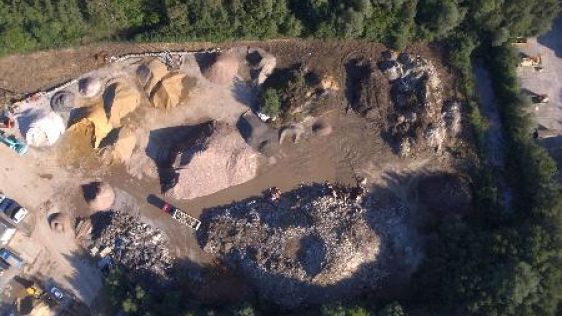
Heavy rainfall in late May and early June 2013 caused the Elbe, Vltava and Kamenice rivers to burst their banks in the Czech Republic. Among other areas, the Troja area of Prague a...
Heavy rainfall in late May and early June 2013 caused the Elbe, Vltava and Kamenice rivers to burst their banks in the Czech Republic. Among other areas, the Troja area of Prague a...

The International Society for Photogrammetry and Remote Sensing (ISPRS) is one of the leading organisations within the geomatics sector and has a long-standing partnership with GIM...
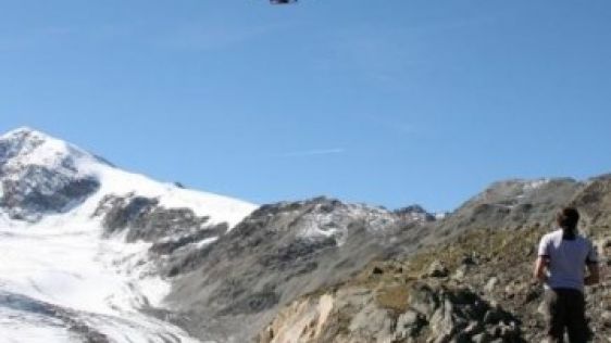
Alpine areas challenge the ingeniousness of humans in designing and performing airborne surveys. There is little space for navigation and poor reception of GNSS signals, while stee...
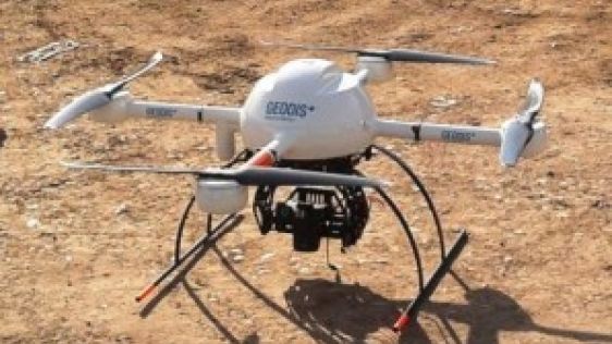
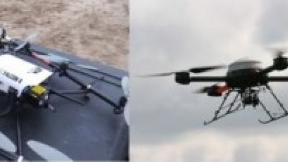
Monitoring a nuclear power plant construction site requires regular collection of site data; even up to weekly coverage may be necessary. Conventional photogrammetry and land surve...
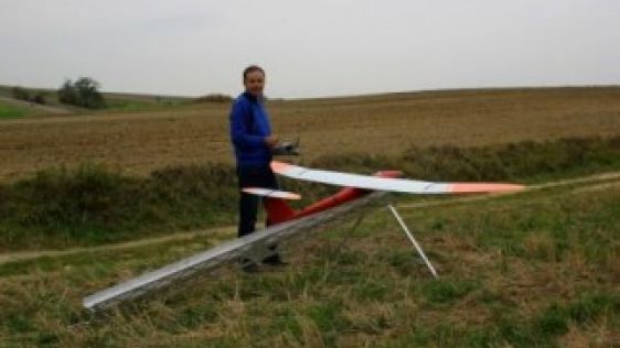
The AviSystem UAV was made on the assumption that it was intended to be a photogrammetric system. Hence, when designing the AVI, it was created for long, stable, precise and effici...

Which factors secure the success of an emergent technology? After years of toil within a university or laboratory, researchers realise that their findings have market potential. Co...
When ownership of one or more parts of a parcel changes, seller(s) and buyer(s) are legally obliged to identify the new boundaries. Stakeholders are often unable to attend the on-s...
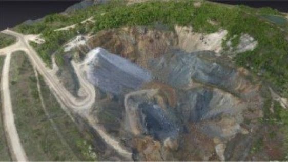
An Unmanned Aerial System (UAS) was used to acquire images of a small area in Italy for the purpose of post-landslide monitoring. The entire chain from aerial survey up to the auto...
UAS mapping is widely accepted as a new method for acquiring spatial image data. The main business opportunities clearly lie in projects which are too small to be of interest for a...

Positioning and navigation company Trimble has been on a shopping spree, buying several companies – including remote sensing solutions business Gatewing – in what appears to be par...
My Endpoint column in the February 2011 issue touched upon general characteristics of Unmanned Aerial Vehicles (UAV). Here, I focus on low-weight, low-altitude and the built enviro...
The idea for designing an Unmanned Aerial System (UAS) originated from a doctoral dissertation in aerodynamics by the company’s CTO, Peter Cosyn. Maarten Van Speybroeck, o...
Re-usable aircraft flown without onboard human crew have been in existence since 1916, the bulk of applications concerning reconnaissance and other military missions too shady, di...
Do you have an interesting idea for an article in GIM International? We are always looking for the best news and views from the geomatics industry. If you are working with the most innovative technology, have performed a challenging survey or simply want to share your perspectives on the future, please send an email to our Head of Content, Wim van Wegen: wim.van.wegen@geomares.nl. He will be more than happy to explore ways of sharing your ideas with your peers throughout the geomatics world.
This site uses cookies. By continuing to use this website, you agree to our Cookies Policy. Agree