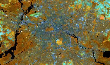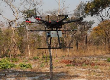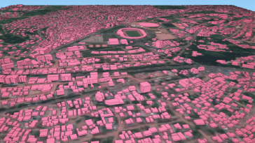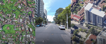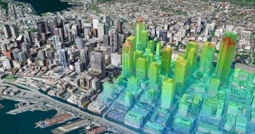
Geospatial digital twins will make cities smarter
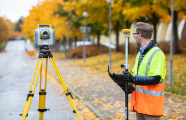
Thanks to the ability of digital twins to provide insights into the reality of present conditions and the impacts of future scenarios, they have the potential to revolutionize the planning and efficie...