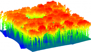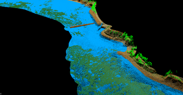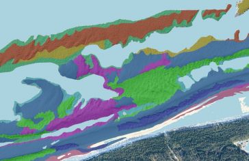
Shallow seabed mapping based on airborne Lidar bathymetry
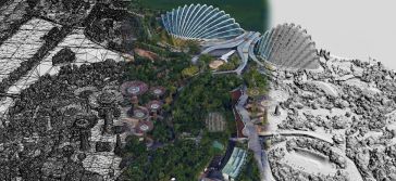
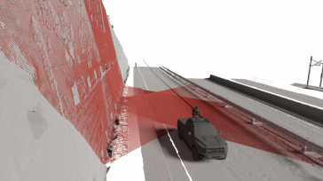
This article presents a novel methodological approach to understand and assess the suitability of airborne Lidar bathymetry for the automatic classification and mapping of the seabed. This solution a...