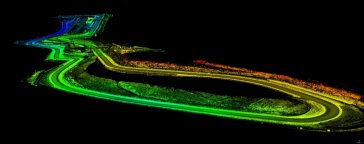
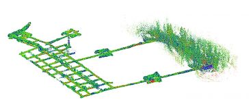
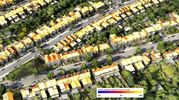
Building a digital twin for Germany
The German Federal Agency for Cartography and Geodesy (BKG) is creating a digital twin of the whole of Germany that can be used to simulate various future scenarios in order to adequately address soci...
In this interview, Rudolf Staiger, president of FIG, shares his thoughts on the geospatial industry, including market trends, technology drivers and challenges, and the impacts of COVID-19 and climate...
In this interview, Jolle Jelle de Vries from Geomaat shares his views on the key market trends, technology drivers and challenges, and the impacts of COVID-19 and climate change on his organization an...
The coming years look promising for the geomatics sector, but the new generation of professionals must be prepared to face the challenges ahead. In view of the looming labour shortage in the surveying...
Besides the surveying hardware & software and the intricacies of BIM and data exchange, this article explores broader aspects of digitalization in the construction industry. How are they affecting the...
In this interview, Ron Bisio, senior vice president of Trimble Geospatial, provides his views on the key market trends, technology drivers and challenges, and the impacts of COVID-19 and climate chang...
What is the current state of acceptance of mobile mapping, and what are its most common applications? A worldwide survey commissioned by NavVis, and supported by 'GIM International' plus three other ...
How is the geospatial industry evolving in today’s turbulent times? The climate crisis, the COVID-19 pandemic, shifting geopolitical balances – societal challenges are having a major impact on the...
Airborne photogrammetry has been around for more than a hundred years. As early as 1851, the French inventor Aimé Laussedat began imagining the possibilities of using the newly invented camera to cap...
'GIM International' invited Bisheng Yang, vice-director of LIESMARS at Wuhan University, to share his thoughts on the present and future of the geospatial industry. Here, he provides his views on the ...
Data visualization is inherent to humans and continuously evolves, driven by innovation. How is GIS playing a role in this? The term 'data visualization' has come into popular usage relatively recentl...
Terrestrial laser scanning is increasingly being fused with air/spaceborne Lidar to characterize vegetation structure across a range of forest ecosystems. This article explores the potential of this a...
A special issue of the 'Land' journal highlights the latest Fit-For-Purpose Land Administration innovations, demonstrating that FFPLA is increasingly gaining momentum and acceptance. The Fit-For-Purpo...
Bringing together over 1,300 participants from all over the world for a week packed with inspiring sessions, the FIG e-Working Week can be regarded as a success story of the new reality. It took place...
We encourage you to subscribe to our weekly newsletter. Subscribers also receive a digital copy of our bi-monthly magazine.
This site uses cookies. By continuing to use this website, you agree to our Cookies Policy. Agree