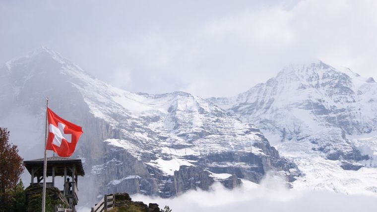
3D is the New Normal in Switzerland
Switzerland is unique in that it is still the only country to have switched entirely to 3D for its national object-oriented topographic database. As users increasingly discover the advantages in terms of new workflows and services, nobody regrets leaving the 2D era behind. According to Swisstopo, the extra dimension creates no extra costs – only extra benefits.
It took the Swiss Federal Office of Topography (Swisstopo) ten years to build an object-oriented topographic database in 3D, with the last objects completed in 2019. “Nothing is excluded now; everything you can think of is available in 3D. Even the administrative boundaries, which are legally not defined in 3D, are for practical reasons projected on the 3D terrain model,” states André Streilein, head of topography at Swisstopo. The difficulties and costs associated with the new data infrastructure were not caused by the third dimension, he says. “There was no specific 3D work. Since we already used photogrammetry, we were already measuring in three dimensions, only we never used the third dimension. The main effort was related to changing from a system of cartographic-based databases to a single topographic-based one. That was the real objective; we just incorporated the 3D element too.” Swisstopo migrated several legacy multi-scale databases into one high-resolution topographic landscape model comprising over 25 million uniquely referenced objects. This scale-independent database is maintained via orchestrated rule-based production workflows to enforce the highest levels of data quality and efficiency. “The main challenge for us over the past years has been the ‘degeneralization’. All the cartographic generalization had to be undone and the features of the objects had to be mapped just as they appear in reality. We now have everything at a degree of detail to allow the generation of 1:5,000 maps.” Most Swisstopo products (including 2D ones) and services are derived from that single topographic landscape model (TLM) and the corresponding 100%-consistent digital terrain model (DTM).

Value staying current with geomatics?
Stay on the map with our expertly curated newsletters.
We provide educational insights, industry updates, and inspiring stories to help you learn, grow, and reach your full potential in your field. Don't miss out - subscribe today and ensure you're always informed, educated, and inspired.
Choose your newsletter(s)


