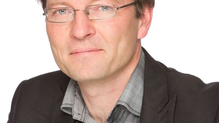
5 Questions to… Christoph Strecha (Pix4D)
Dr Christoph Strecha is the CEO and founder of Pix4D, a Swiss company which develops and markets software for production of survey-grade 3D models and orthomosaics from images. In this Q&A with Strecha, GIM International gains an update on the current status of mapping using unmanned aerial vehicles (UAVs) as well as a glimpse of where the Swiss company is heading.
Your company makes software solutions for UAV-based mapping, purely from images. Are there no plans to expand to Lidar?
Lidar is very interesting in combination with photogrammetry. Especially terrestrial Lidar and UAV- or drone-based photogrammetry point clouds create good synergy. Exciting partnerships and software solutions are to come for Pix4D. For us, however, drone-based Lidar is less interesting. It consumes power (active 3D) and is heavy in comparison to cameras, reducing the drone’s flight time or requiring the drone to be much bigger. Therefore, I don’t think drone-based Lidar will become mainstream in the next few years.
UAV mapping has been an ongoing trend since heavy and expensive sensors are no longer required to produce high-quality data. Which major developments do you foresee for the coming years?
After the hype surrounding the drones themselves, we will now see a heavier focus on the payloads. Sequoia (multispectral camera) is a nice example of a more dedicated, application-specific payload. This trend will continue. The drone is, as it should be, the ‘tripod that carries the measurement device’. Drones have helped spur the adoption and awareness of the power of photogrammetry. Often, though, they are not the optimal way to capture data. We think that the hype will settle and people will realise that it’s not the drone that is important, but the data – which in some cases can come also from a crane camera. I also think we will see a breakthrough of drone applications when the drone itself becomes smaller and less dangerous. This will, of course, also allow easier adaptation in terms of flight regulations.
Your main product, Pix4Dmapper, focuses on processing images from small-format cameras that are used in UAS photogrammetry, among other things. How will your product portfolio evolve over the next five years?
We started to verticalise our products last year, offering more specific solutions for several distinct markets such as professional surveying, agriculture, construction and real estate. Pix4D will continue in this direction to increasingly understand specific customer segments and develop the best products for them. The integration of local desktop processing for fast results and integrated visualisation in the cloud, which allows collaborative viewing, communication and review work, is important to meet customer segments’ specific needs.
What’s your explanation for the great success of UAS photogrammetry?
The fun of consumer drones! Professionals that flew them for fun quickly realised that these consumer drones carrying a camera could be very useful in their professional life. They became interested and saw the professional drones, such as the eBee, offered even greater potential.
The more data sensors produce, the more important it becomes to derive information automatically. What is your impression of today’s status of automated scene analysis, and where is it heading?
We cannot begin to imagine how much data is being collected today that nobody has time to look at. This trend will be enormously magnified, not only in drone mapping. We won’t have the manpower to extract information from all the data and results being produced today. Automated solutions will solve this dilemma. Instead of getting a 3D point cloud from images, we will see more and more automatic semantic extraction. It’s not the 3D point cloud that matters, but where the windows are, how many there are, and what has changed on the building surface since last year’s survey. For specific applications we’re already seeing this happening, and will continue to do so. Pix4D has the largest research and development team out of all the photogrammetry software companies, which I believe gives us an advantage to lead, also in the domain of semantic scene interpretations.
Christoph Strecha
Dr Christoph Strecha is the CEO and founder of Pix4D, a Swiss company which develops and markets software for production of survey-grade 3D models and orthomosaics from images. Strecha received a PhD from the Catholic University of Leuven (Belgium) in 2008, completing his thesis on multi-view stereo. His research interests include structure and motion techniques and city modelling. He is active in the Commissions of the International Society for Photogrammetry and Remote Sensing. He has authored numerous papers and in 2015 received the Carl Pulfrich Award for his work in computer vision and photogrammetry.

Value staying current with geomatics?
Stay on the map with our expertly curated newsletters.
We provide educational insights, industry updates, and inspiring stories to help you learn, grow, and reach your full potential in your field. Don't miss out - subscribe today and ensure you're always informed, educated, and inspired.
Choose your newsletter(s)


