500 Years of Mercator
Gerard de Kremer was born on 5 March 1512 in the small town of Rupelmonde, situated in the heart of what is now the Flemish region of Belgium. In his mid-teens, whilst studying in ‘s-Hertogenbosch, he Latinised his name to Gerardus Mercator, and it is by this title that we celebrate, in 2012, 500 years since the birth of one of the most influential cartographers of all time.
Mercator’s life showed notable contrasts throughout: from early poverty to mature riches, from living in a small village on the banks of the Scheldt to creating a family business in a cosmopolitan city (Duisburg) on the banks of the Rhine, from teaching theoretical mathematics to actually constructing globes, from proposing design parameters for maps to questioning (and even being imprisoned for his attitude to) religious authority.
Mercator’s name lives on in the famous conformal world map projection, which has been used by navigators for centuries, but he also had significant impact on a large number of related areas. In the 1530s, he initially developed skills in mathematical instrument manufacture and subsequently learned engraving, which he applied to map production both for sheet maps and for globe gores. It was whilst working on these that he also became interested in globe making.
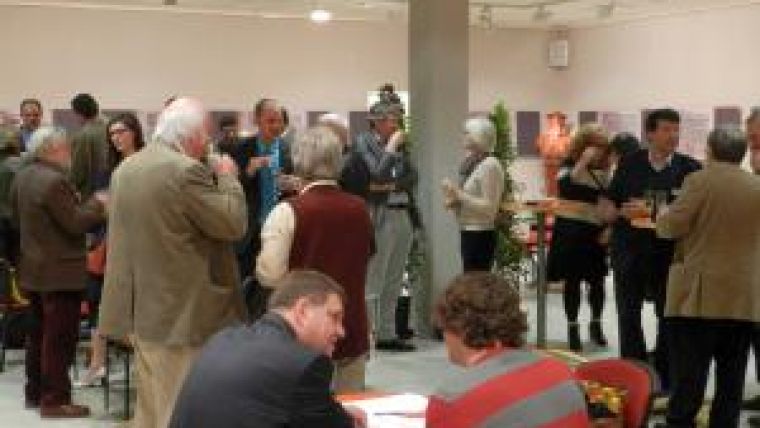
The international cartographic community celebrated Mercator’s anniversary in April 2012 by supporting a conference which took place in his native Flanders (in the City Hall of Sint-Niklaas, just 10 kilometres from his birthplace, where a Mercator exhibition was also presented). Organised by Ghent University Department of Geography and the Heritage Group of Waasland, this meeting highlighted Mercator’s work (his training, resources and the mathematics, science and technology of his craft), his context (the impact of the Age of Discovery on cartography, the world view and philosophy of Mercator’s time) and his legacy (particularly contemporary approaches to cartographic heritage and application of new techniques to the handling of data and products from Mercator’s era). Papers were presented on specific maps and areas of interest, from the Far East and the Ottoman Empire to the Adriatic and islands at the mouth of the Scheldt. Mercator’s less well-known work – on the Earth’s magnetism, on the design of italic text for atlas map engraving, on the toponymy of Balkan areas – was also represented in the programme. Presenters from all four corners of the world were supplemented by some notable keynote speakers: Professors Gartner (Vienna), Brotton (London, paper given on his behalf), Horst (Munich) and Monmonier (Syracuse).
Mercator’s influence is still apparent today in many areas of cartographic activity, and his name is probably the most widely recognised of all cartographers by the general public all over the world. ICA extends thanks to the organising team at Ghent and Sint-Niklaas, and to the Flemish government, for arranging this celebration.

Value staying current with geomatics?
Stay on the map with our expertly curated newsletters.
We provide educational insights, industry updates, and inspiring stories to help you learn, grow, and reach your full potential in your field. Don't miss out - subscribe today and ensure you're always informed, educated, and inspired.
Choose your newsletter(s)


