Atmos UAV Launches Marlyn
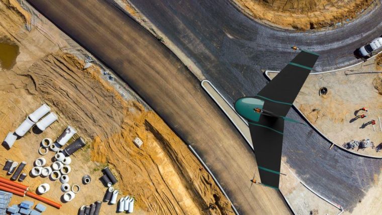
Atmos UAV has launched Marlyn, the first hybrid unmanned aerial vehicle (UAV or ‘drone’) in its class that is developed to operate at higher wind speeds while maintaining its helicopter flexibility and fixed-wing performance. Marlyn can be easily deployed from any surface, maps up to 10 times faster than a traditional multirotor and operates in a broad range of weather conditions. This makes Marlyn a valuable and time-saving asset for engineering professionals in industries such as construction, mining, agriculture and forestry.
Conventional drones fall into two categories which each have their limitations: multirotors, which feature flexible take-off and landing but have limited mapping performance; and fixed-wings, which map efficiently but come with cumbersome take-off and landing operations and need lots of space for it. Based on the motto ‘Mapping without limits’, Marlyn is designed to combine the best of both worlds.
Marlyn makes accurate and controlled vertical landings like a multirotor, even in confined spaces as small as 2 x 2 metres, eliminating belly-landings and preventing unnecessary damage. The aerodynamically optimised wings ensure a range of up to 60km per battery charge and reliable flight in harsh weather conditions. Pieter Franken, co-founder of Skeye, one of Europe’s leading unmanned aircraft data providers, states that he expects Marlyn to deliver time savings of up to 50% and moreover save a huge amount of resources and equipment. Marlyn can cover 1km² in half an hour with a ground sampling distance of 3cm.
Workflow
Sander Hulsman, CEO of Atmos UAV, explains that Marlyn is not only made to improve flying, but is also accompanied by a mapping system that is designed to streamline the entire workflow. The time-efficient data collection allows users to focus more on analysing the actual information and improving their business effectiveness. With Marlyn, mapping jobs consist of four easy steps. First, a flight plan is generated based on the required accuracy and the specified project area. Secondly, the drone starts its flight and data collection by a simple push of a button. Thirdly, after Marlyn has landed at the designated spot, the captured data is automatically organised and processed by image processing software of choice. Finally, a detailed analysis can be done to provide actionable insights.
The drone can be used for different applications by changing the payload, which by default is a high-end camera for a wide range of surveying missions. As an alternative, a multi-spectral camera can be carried to generate agricultural maps, which contain detailed information about the condition of each single crop. In addition to the camera, Marlyn’s absolute accuracy can be improved by an integrated module that works based on post-processed kinematics (PPK). This module further reduces the time in the field, since fewer to no ground control points need to be collected.
Handling higher winds
Helicopter flight and forward flight are completely opposing in nature. Dirk Dokter, CTO of Atmos UAV, points out that it is far from straightforward to combine the two flight modes. Particularly challenging is making the system wind resistant without introducing an excess of mechanical complexity, which would introduce unnecessary points of potential failure. But, according to Dokter, Atmos UAV has solved it. After years of extensive research and testing, in collaboration with the Delft University of Technology, Marlyn is a lightweight vehicle which flies automatically and effortlessly, even in high winds.
For more details, visit Atmos UAV at stand A3 during GEO Business
About Atmos UAV
Atmos UAV is a high-tech start-up that designs and manufactures reliable aerial observation and data gathering solutions for professional users. It all originated from a project at the Technical University of Delft. With the support of its faculty of Aerospace Engineering, it evolved into the fast-growing spin-off company Atmos UAV. The company specialises in land surveying, mining, precision agriculture, forestry and other mapping related applications. Atmos UAV is currently hiring to accommodate its rapid expansion.

Value staying current with geomatics?
Stay on the map with our expertly curated newsletters.
We provide educational insights, industry updates, and inspiring stories to help you learn, grow, and reach your full potential in your field. Don't miss out - subscribe today and ensure you're always informed, educated, and inspired.
Choose your newsletter(s)


