Cadastral mapping in Tajikistan
EC supports Agency for Land Management, Geodesy and Cartography
In the Central Asian republic of Tajikistan the Agency for Land Management, Geodesy and Cartography (ALMGC) is responsible, among others duties, for cadastral mapping of agricultural areas. Until recently no experienced specialists or modern photogrammetric software were available for this task, but in 2006 came the introduction of modern geodetic and photogrammetric technologies at the FAZO in Dushanbe, bringing new possibilities for cadastral mapping in Tajikistan.<P>
View Larger Map
This occurred within the framework of the European Commission-funded project ‘support to the mapping and certification capacity of the Agency of Land Management, Geodesy and Cartography', run by a consortium of Finnmap FM-International and Human Dynamics, with international experts in satellite geodesy, digital photogrammetry, cartography and cadastral mapping.
Geo-referencing
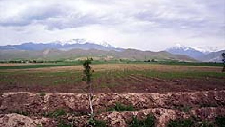
First a new map projection was chosen for cadastral mapping, after which a new dense geodetic network, based on GPS technology, was established in the agricultural regions. In Tajikistan agricultural fields are usually cultivated between the mountainous areas (Figure 1 and 2). The basic aim of the intensification geodetic network was to provide ground control points (GCP) and independent check points (ICP) for geo-referencing of high-resolution satellite data to a cartographic projection. Figure 3 shows the measurement of GCPs using GPS technology.
DEM Generation
Digital Elevation Models (DEM) were generated from Shuttle Radar Topography Mission (STRM) data. The vertical accuracy of DEM from SRTM data depends on the tangent of the terrain inclination and is actually better than CE90%=10 metres. A certain systematic height difference (bias) was observed, and this should be eliminated before the SRTM model can be used for orthorectification. After correction of the raw SRTM data for flat areas, an error in height of approximately 4m was found, sufficiently low for the generation of digital orthophoto maps for flat regions from Ikonos and QuickBird data with nadir viewing less then 17°. The accuracy of the digital orthomaps was better than two pixels.
Training
Lectures and training in satellite geodesy, modern photogrammetry and processing of high-resolution satellite imagery and digital-map compilation have been organised. Study tours were arranged to the ISPRS Conference in Beijing in 2008, to private photogrammetric and geodetic companies in Poland, and last year to the International Conference ‘Remote Sensing and GIS Systems' that took place in Almaty, Kazakhstan.
Comprehensive technical and operation manuals for the methods of GPS surveying and geodetic calculations have been elaborated and implemented at the Institute FAZO. Technical manuals and standard operational procedures in the field of digital photogrammetry , processing of satellite imagery, orthophoto generation and the use of SRTM data for DEM generation (Figures 4-6) have also been compiled and completed. Quality control procedures for all the steps in the mapping processes have been designed and implemented at FAZO.
Cadastral Maps
All available high-resolution satellite data for agricultural areas are nowadays used in the production line at FAZO. New data, WorldView1 and GeoEye, will be used this year. The Institute FAZO can now produce digital orthophoto maps in the scales 1:10,000 and 1:5,000. Elaborated digital orthophoto maps will be used to derive visible boundaries for digital cadastral maps. These vector maps will be verified in the field and, if necessary, updated by geodetic work using GPS.
Further Work
Apart from the EC project, our experts have also provided long-term expertise for the World Bank project ‘Land Registration and Cadastre System for Sustainable Agriculture'. This project has provided the Institute FAZO with modern photogrammetric workstations and satellite data from Ikonos and QuickBird. The training in GPS and satellite geodesy for the World Bank Cadastral Centres has been undertaken by our key expert in geodesy.
Over coming years there will be ongoing further capacity building in the Institute FAZO and the Agency of Land Management, Geodesy and Cartography, all within the context of the second phase of the project.

Value staying current with geomatics?
Stay on the map with our expertly curated newsletters.
We provide educational insights, industry updates, and inspiring stories to help you learn, grow, and reach your full potential in your field. Don't miss out - subscribe today and ensure you're always informed, educated, and inspired.
Choose your newsletter(s)


