Challenging High-accuracy Airborne Lidar Mapping Mission in Greenland
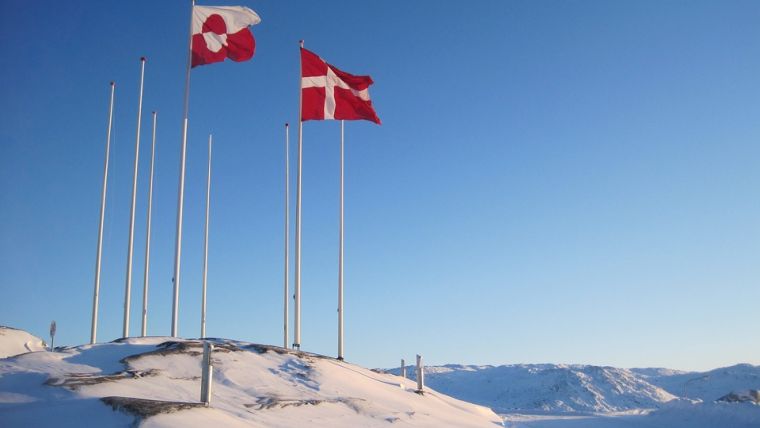
Denmark-based company Airborne Lidar Mapping A/S conducted a demanding data acquisition project in the summer of 2019. The purpose of the resulting data was to enable digital terrain models and to update existing base maps of the cities Nuuk, Sisimiut, Ilulissat, Qaqortoq and Aasiaat in Greenland. The northernmost city is Ilulissat, which is situated 350km north of the Arctic Circle. Several anomalous parameters were involved in the planning of the mission in comparison to typical Lidar aerial mapping missions. The arctic climate, the remote location and the size of the island necessitated arctic survival skills as well as arctic-proof communication equipment. Furthermore, AVGAS fuel for the aircraft used is a scarce commodity in Greenland.
The airborne platform chosen was the Cessna C337 Skymaster, a rare multi-engine aircraft with centreline thrust, which provides a reliable platform to house the cameras and Lidar equipment required for the mission.
Challenging circumstances
Moreover, the C337 is equipped with de-icing and anti-icing systems, ensuring excellent safety in the cold arctic region. Requirements for the mission involved data to be acquired at 1,500ft above ground level in challenging terrain. A large amount of variability portrays Arctic weather, and poor weather conditions prolonged the mission. Days with unaccommodating weather permitted for encountering some of the extraordinary nature experiences that Greenland has to offer. On these days, the aircraft additionally proved itself as an outstanding sightseeing instrument enabling among other airborne whale and glacier watching. For a business based in Denmark, the visit gave a greater familiarity to an autonomous part of the kingdom.
According to the Airborne Lidar Mapping CTO, the mission was a great experience and success. “It is a statement to the fact that Airborne Lidar Mapping A/S can provide high-quality, dependable and dedicated service to customers anywhere in the world." The mission pilot stated: "Greenland was breathtakingly beautiful, a true pleasure and challenge for an aviator."

Value staying current with geomatics?
Stay on the map with our expertly curated newsletters.
We provide educational insights, industry updates, and inspiring stories to help you learn, grow, and reach your full potential in your field. Don't miss out - subscribe today and ensure you're always informed, educated, and inspired.
Choose your newsletter(s)


