Correlator3D Used for Determining Financial Assistance after Hurricane Dorian
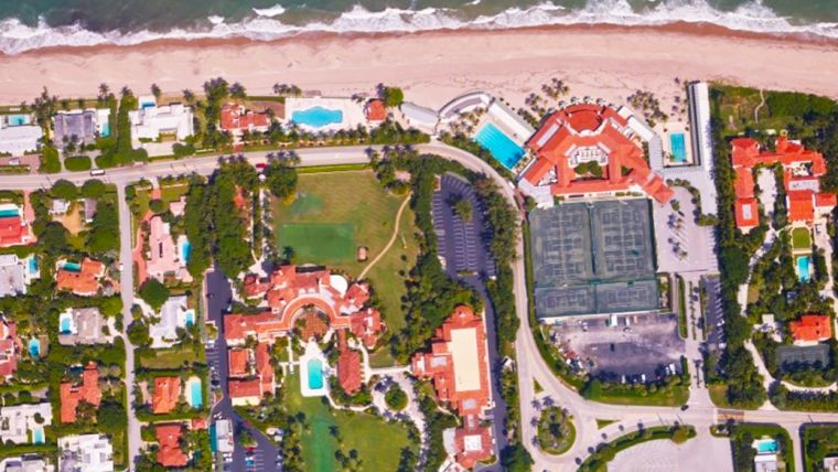
According to SimActive, a world-leading developer of photogrammetry software, Correlator3D has been used by Air Data Solutions (ADS) in Florida to determine financial assistance following Hurricane Dorian. Aerial imagery was collected before the storm for pre-hurricane assessment and afterwards for damage analysis.
A Phase One 100MP aerial camera owned by ADS was flown to gather high-resolution images of the affected areas. The data was then processed by SimActive software to create mosaics of orthophotos. The resulting geospatial data helped government authorities to calculate recovery aid funds.
“We have been impressed by the accuracy and speed of Correlator3D to support such a time-critical mission,” said Don Cummins, president of ADS. “Combined with a high-end aerial sensor, SimActive provides the best tool for emergency response.”
SimActive’s Correlator3D software is a patented end-to-end photogrammetry solution for the generation of high-quality geospatial data from satellite and aerial imagery, including unmanned aerial vehicles (UAVs or 'drones'). Correlator3D performs aerial triangulation (AT) and produces dense digital surface models (DSMs), digital terrain models (DTMs), point clouds, orthomosaics, 3D models and vectorized 3D features.

Value staying current with geomatics?
Stay on the map with our expertly curated newsletters.
We provide educational insights, industry updates, and inspiring stories to help you learn, grow, and reach your full potential in your field. Don't miss out - subscribe today and ensure you're always informed, educated, and inspired.
Choose your newsletter(s)


