DJI and Delair Announce Visual Data Collection Partnership
DJI, a global leader in civilian drones and aerial imaging technology, and Delair, a leading provider of visual data management solutions for enterprise, are partnering up to collaborate on enhanced and integrated solutions for visual data collection and analysis for businesses. The partnership will include an agreement for Delair to sell DJI products through its worldwide sales channel, along with launching a relationship to build compatibility across platforms.
“DJI is incredibly excited to be working more closely with the Delair team to support their vision of building a leading software suite. At DJI, we aim at providing reliable, scalable drone offerings that empower organizations such as Delair to build software solutions that allow businesses across a range of sectors to benefit from drone data. The partnership is an important agreement that demonstrates an increasing maturity in the enterprise drone industry. It reinforces the benefit of collaboration within the drone ecosystem to deliver more value to customers,” said Jan Gasparic, director of strategic partnerships at DJI.
Data analytics suite
The partnership builds on the two companies’ success in the enterprise market, and firmly establishes Delair as a leading provider of complete, end-to-end visual intelligence solutions. DJI unmanned aerial vehicles (UAVs or 'drones') are the most deployed drone hardware for enterprises today, and this partnership facilitates the accessibility to incorporate both DJI drone products and Delair's data management platform, providing a hassle-free option for enterprise drone programmes.
“Drones for enterprise are more than just hardware solutions: the real key is tapping into and leveraging the data these powerful machines can gather. DJI’s developer technologies and existing installed base allow Delair to build an industry leading analytics suite that can be utilized instantly across a customer’s fleet. Both DJI and Delair recognize the importance of providing enterprise-calibre solutions from trusted partners to enable true digital transformations by our customers. We are confident this partnership will further accelerate how businesses can improve their operational efficiencies using drones,” said Benjamin Benharrosh, co-founder and vice president sales at Delair.
Deriving insights from drone data
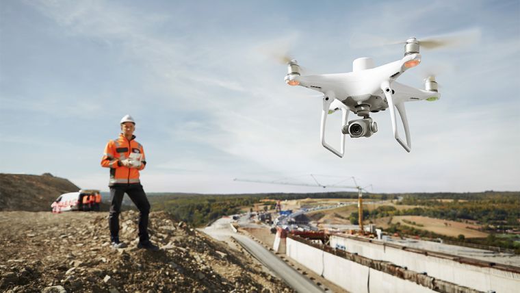
The relationship strengthens Delair’s ability to serve key industry sectors that are increasingly relying on visual data to drive their businesses, such as construction, transportation and infrastructure, utilities, mining and agriculture. Through the support of DJI systems with the delair.ai platform, customers have a one-stop shop and optimal freedom of choice in utilizing the cloud-based system’s wide range of tools to help derive insights from drone data, including industry-specific analytics tools optimized for specific use cases. Some of the off-the-shelf features and analytics for extracting business intelligence include creating digital twins, field inventory calculations, vegetation encroachment, automatic defect detection, automatic stockpile detection and volume measurements, along with any application which is based on AI object detection for asset management.

Value staying current with geomatics?
Stay on the map with our expertly curated newsletters.
We provide educational insights, industry updates, and inspiring stories to help you learn, grow, and reach your full potential in your field. Don't miss out - subscribe today and ensure you're always informed, educated, and inspired.
Choose your newsletter(s)


