Ecometrica Uses UAV-Lidar to Map Vegetation in Scottish Forests
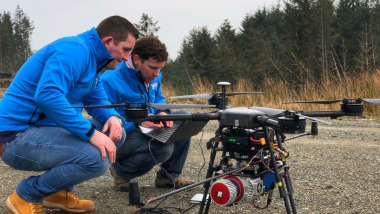
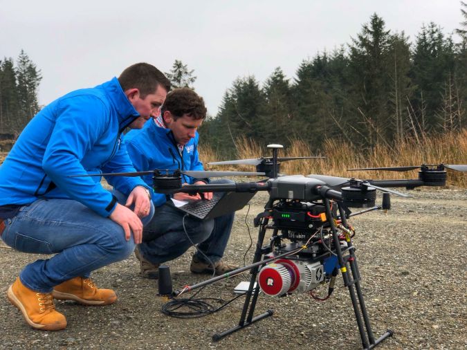
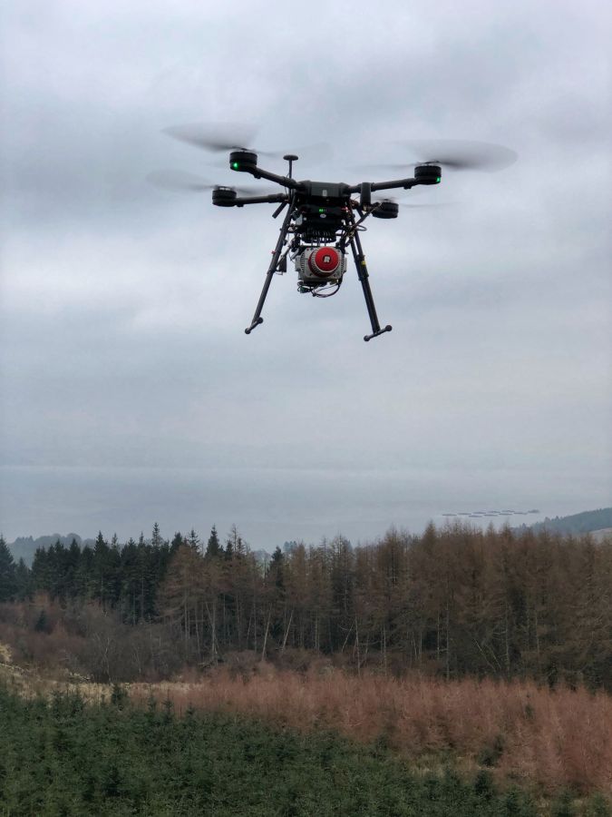
Soaring over Scotland’s majestic landscape and beautiful forests, unmanned aerial vehicles (UAVs or 'drones') are helping to map the species growing under the upper canopy of the trees thanks to advanced laser technology. Downstream space information company Ecometrica, which is headquartered in Edinburgh, is the developer of the award-winning Ecometrica Platform, which enables businesses and governments to turn the vast and growing streams of observation data from space, air and land into actionable insights.
Sarah Middlemiss, space programme manager at Ecometrica, said: “This is a great opportunity to address some of the challenges facing our own environment, with innovative technologies, such as drones equipped with Lidar sensors."
“A number of native plant species are facing a growing threat from land use change, development and climate change and this initiative will help identify, for example, the spread and impact of invasive rhododendron in key areas of Scotland.”
High resolution digital terrain models
The data collection is organised through the Scottish Earth Observation Service (SEOS) operated by Ecometrica in partnership with funding partners; Forestry Commission Scotland, Scottish Orienteering, Woodland Trust and the University of Edinburgh.
The spread of rhododendron is a key challenge to the Forestry Commission, who have partnered in this initial project. The data has value to multiple other users in Scotland such as Woodland Trust, who are interested in mapping remnant forest, the University of Edinburgh who can use the data for innovative research, and Scottish Orienteering, who are interested in high resolution digital terrain models in preparation for hosting the World Orienteering Championships from Edinburgh in 2022.
“The talent and resources available in Scotland gives us the opportunity to use our own backyard as a test bed for technology that will play an important role in monitoring endangered tropical rainforests, and helping manage the resources we have to protect them. At the same time, knowledge is being harnessed and developed in Scotland, which will help shape future policy and initiatives.”
Deforestation mapping
Among its projects, Ecometrica spearheads Forests 2020, a UK Space Agency programme to map deforestation of tropical forests in West Africa, Latin America and South East Asia direct conservation efforts effectively, a project that until now has previously relied on a range of satellite data and sources on the ground to build its detailed interactive maps of crops and forests. Now, thanks to advances in unmanned aerial vehicles and Lidar imaging systems, astonishingly detailed 3D maps that distinguish between plant species, unobstructed by other vegetation, can offer unique insights into the health of ecosystems.
Ecometrica hopes to deploy Lidar drones in West Africa later this year, to better understand how and where cocoa farming is encroaching on protected forests. Cocoa is a shade-loving crop that is often grown under the forest canopy, and Lidar can see through the top layer of vegetation to map the whole breadth of a forest. This makes the technology particularly effective in cloudy weather, and viewed through expert eyes it can give a precise picture of the health of a forest.
“You can’t map everything from satellites,” Middlemiss said. ”We need other data sources and Lidar is about the richest you can get.”

Value staying current with geomatics?
Stay on the map with our expertly curated newsletters.
We provide educational insights, industry updates, and inspiring stories to help you learn, grow, and reach your full potential in your field. Don't miss out - subscribe today and ensure you're always informed, educated, and inspired.
Choose your newsletter(s)


