Environment, Security and Society
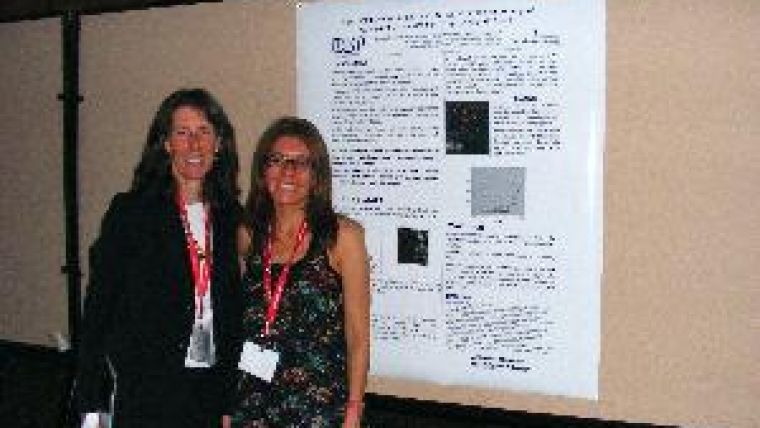
< Marguerite Madden, president, Commission IV, with Andrea Presotto, University of Sao Paulo, Brazil and currently post-doctoral researcher at the University of Georgia, standing before Dr Presotto’s poster at the 2010 Orlando, Florida Commission IV Symposium.
A special Joint Symposium of the International Society for Photogrammetry and Remote Sensing (ISPRS) Commission IV and AutoCarto 2010 was held in conjunction with the American Society for Photogrammetry and Remote Sensing (ASPRS)/Cartography and Geographic Information Science (CaGIS) Specialty Conferences in Orlando, Florida, USA on 15th to 19th November 2010. The theme of the Symposium Technical Program co-chaired by Marguerite Madden, president, ISPRS Commission IV, and E. Lynn Usery, chair, US National Committee to the International Cartographic Association (ICA), was ‘Geospatial Data and Geovisualisation: Environment, Security and Society’.
Challenging Times
A total of 567 participants from 39 countries attended the symposium, opening with a discussion of the perspectives on ‘Geospatial Data and Visualisation for Challenging Times’ with ISPRS president Professor Orhan Altan, ICA president Professor William Cartwright, and president of the International Geographical Union Professor Ronald Alber. Plans for the ISPRS Congress to be held in Melbourne, Australia in August 2012 and the ICA Conference in Paris, France in July 2011 were outlined by ICA Congress directors Professor Cliff Ogleby and Ms Anne Ruas, respectively.
Success Stories
Three General Sessions provided a mix of theory, application and inspiration. Professor Menno-Jan Kraak from ITC, University of Twente, The Netherlands, posed the question, “Is There a Need for Neo-cartography?” David Fuhr from Airborne Data Systems (US) recounted his experiences with multi-sensor data acquisition, processing and distribution during the British Petroleum oil spill in the Gulf of Mexico. Kathaleena Edward Monds of Albany State University in Georgia (US) presented DNA and GIS analysis to trace the African ancestry of 4H students and produce human migratory maps to explore their ancestry from a global perspective. There followed success stories from students active in ASPRS, ISPRS, CaGIS and ICA. Cemal Ozgur Kivilcim, chair, ISPRS Student Consortium (SC), Meghan Graham MacLean, chair, ASPRS Student Advisory Council (SAC), Sarah Battersby, CaGIS board member, and Sergio Bernardes, former president of the University of Georgia Student Chapter of ASPRS all spoke of their involvement in geospatial professional societies. The ISPRS and ASPRS student groups also formalised their relationship with a Memorandum of Understanding.
Special Sessions
Participants were offered thirteen pre-conference technical workshops, eight Special Sessions and 36 Technical Sessions, including four ASPRS Specialty, nineteen ISPRS Working Group and thirteen AutoCarto 2010 Sessions. Topics ranged from geospatial data infrastructure, imaged-based change detection and web-based geoinformation services, to data ontology, geovisualisation, 3D spatial data for disaster management, and planetary databases. A Poster Session displayed 53 posters and the exhibition hall hosted 45 industry and government-agency exhibitors. Sponsorship by ESRI, ERDAS and Vexcel Imaging was greatly appreciated, as was sponsorship by BAE Systems, ITT, Riegl USA and Cardinal Systems.

Value staying current with geomatics?
Stay on the map with our expertly curated newsletters.
We provide educational insights, industry updates, and inspiring stories to help you learn, grow, and reach your full potential in your field. Don't miss out - subscribe today and ensure you're always informed, educated, and inspired.
Choose your newsletter(s)


