FIG Working Week 2020: Make the World a Better Place
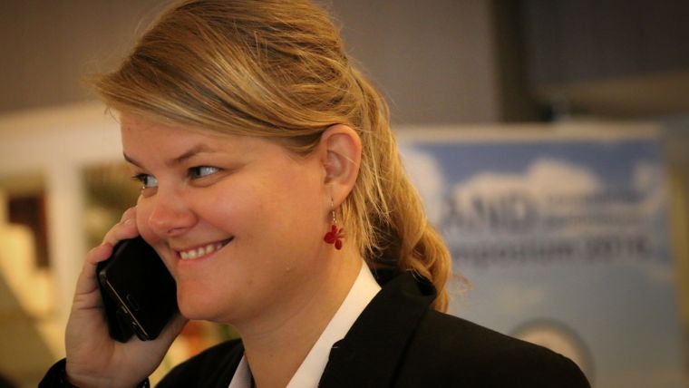
Q&A with Paula Dijkstra, Congress Director
This article was originally published in Geomatics World.
From 10-14 May 2020, surveyors and geospatial experts will meet for the Working Week of FIG, the international federation for surveyors. The conference theme is 'Smart Surveyors for Land and Water Management'. Key question: what does the future require of geospatial professionals and what does it require of the profession? Read on for a conversation with the enthusiastic conference director, Paula Dijkstra.
How does land surveying in the Netherlands contribute to good land and water management?
“Our country lies in a river delta and is to a great extent below sea level. Furthermore, we are one of the world’s most densely populated countries. Without a good knowledge of what’s happening where, we wouldn’t have been as prosperous as we are now. The Dutch are creative and innovative. And you can see that in how our country is built. Examples include the polders, the Delta Works, and space for the rivers. It’s all about land and water and knowing the best place to intervene in the landscape. The geo-expertise of the government and the business community is essential: the surveyor in the field who measures exactly what is where or where something should be, or the analyses of data from municipalities, provinces and water boards, which are then translated into the implementation of planning.”
Which developments require the expertise of surveyors and geo-experts?
“Climate change poses global challenges. Rising sea levels affect coastal areas; natural disasters are more often accompanied by heavy rainfall and flooding. All countries want to protect their valuable land. Good information and forecasts are essential in this. Surveyors and geo-experts have an important role to play here. We have good agreements in the Netherlands about how we make our collected geo-data available to and for other parties and for other purposes. We’ll also need this integrated approach and cooperation between parties in the future to be able to keep our feet dry.”
According to the FIG, it’s time for the ‘smart surveyor’. What does that mean?
“It’s important that today’s surveyor is also ready for the challenges of tomorrow and the day after tomorrow. Then you must be able to apply new knowledge and techniques in a smart way. During the Working Week, we discuss what is needed to ensure that surveyors and geo-professionals are ‘futureproof’. How do you deal with technology that can change your work forever? Laser scanners and sensors create an explosion of data: how do you get the right information out of them? How do you manage the data and how do you measure their quality? To be able to meet challenges such as urbanisation and climate change and to achieve the Sustainable Development Goals, we need young, innovative professionals with these skills.”
Integrating land management and water management: what does that produce?
“I’ll give you an example. If we in the Netherlands had not linked our knowledge of water levels and groundwater to efficient agricultural development, we would not now be the second largest exporter in the agricultural sector worldwide. You need to know where the impact of drought is greatest, know where floods are going to occur, know which conditions are ideal for agriculture. Precise and accurate data about water and land help us to make good choices and better organise our country.”
Why are GIN, Kadaster and ITC organising this FIG Working Week?
“All three have been FIG members for years. One of the goals of organising it in the Netherlands is to strengthen our geo-sector internationally. Through GIN, we can talk to the right organisations and people. Kadaster is presenting the latest innovations in geo-services, which are highly regarded abroad. The ITC is part of a Dutch university (Twente), but completely focused on teaching foreign students. Using their expertise, the ITC colleagues take care of building the interactive congress programme and knowledge sessions.”
How did you become personally involved?
“My first introduction to FIG was during the FIG Working Week in Rome in 2012. I suddenly saw more clearly the relevance of our work and how we can and should contribute to a better world. I realised how well we are doing in the Netherlands and how our knowledge can help other countries. As a Kadaster employee, I also noticed what a good reputation Kadaster has, whether it is about PDOK (our geodatasets access platform), 3D applications or the housing market. Isn’t it satisfying that the participants will soon be hearing about this first-hand from our experts? The Working Week is an opportunity for us as a Dutch geo-sector to look at our field from a different perspective. And it’s an opportunity to inspire others with our knowledge and skills. That fits in with our responsibility to make the world a better place.”
For more information on the FIG Working Week 2020, see here.
This Q&A was conducted by Karl Adams, news editor at Kadaster International. The Dutch version was published in Geo-Info, the leading Dutch magazine on geoinformation.

Value staying current with geomatics?
Stay on the map with our expertly curated newsletters.
We provide educational insights, industry updates, and inspiring stories to help you learn, grow, and reach your full potential in your field. Don't miss out - subscribe today and ensure you're always informed, educated, and inspired.
Choose your newsletter(s)


