From Data Capture to Data Intelligence
5 Questions to… Ron Bisio, Trimble Geospatial
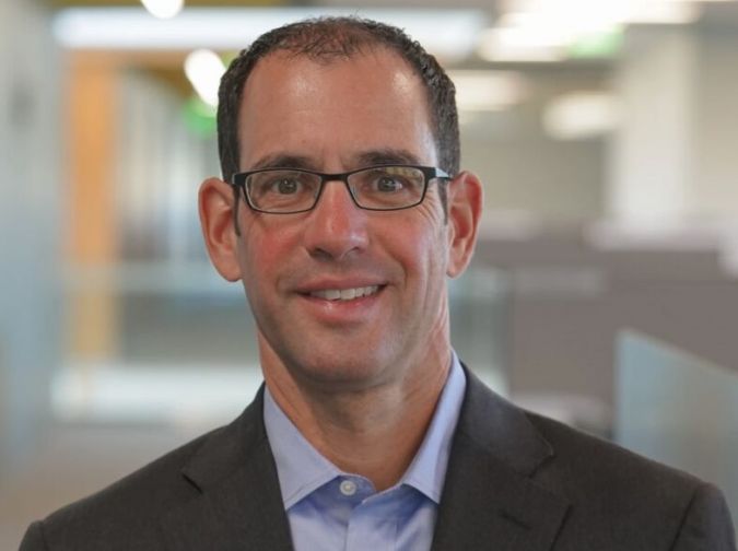
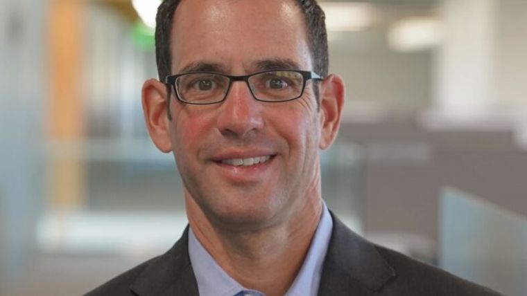
In this interview, Ron Bisio, senior vice president of Trimble Geospatial, provides his views on the key market trends, technology drivers and challenges, and the impacts of COVID-19 and climate change on his organization and the sector in general.
What has been the impact of COVID-19 on your business?
From the earliest days of the global pandemic, our customers, distribution partners and employees have demonstrated incredible resilience in one of the most challenging periods I’ve experienced. Two years in, they continue to operate and stay focused on their role in the global economy, and as a result we’ve seen an acceleration in the adoption of software and hardware solutions for the digital transformation of construction, transportation and utilities. This comes as governments are putting more funds into infrastructure construction and maintenance. Our customers are incredibly busy capturing physical information and the as-built situation of current infrastructure. This robust market has also magnified the challenges of the slowing pipeline of survey professionals, with more people retiring than joining the profession. At Trimble, we are helping to jumpstart a new generation of young surveyors through our Trimble Technology Labs and other education initiatives which get the latest hardware and software into the hands of students as they begin their careers.
What do you regard as the key market trend in the years ahead?
Digital twins, as the end game of scanning and mobile mapping workflows, will be a central feature of infrastructure improvements across the world, supported by stimulus money pouring into Europe and historic infrastructure investments in the US. Capturing the Earth and converting it into a digital model, or digital twin, is central to improving our roads, bridges, railways and airports. A snapshot of the as-built situation allows survey and mapping professionals to support workflows in construction, transportation and utilities. Our customers, the surveyors in the field, are the ones standing in front of that bridge for which there will be a digital twin so that designers, engineers and planners can work on improving it. The entire time, personnel in the field and office are operating in a fully connected environment, which minimizes downtime caused by information requests and design & stakeout updates. The same thing happens in utilities, with our customers capturing information about critical infrastructure and feeding it into the workflow and eventually going back out and inspecting and maintaining that information.
Which technological driver do you expect to be most important in the coming years?
Changes in data collection and processing are helping us to broaden our role beyond simply capturing information in the field, and cloud services will enable us to deliver on the digital twin through the software driving our data capabilities. When I joined Trimble in 1996, surveyors used either optical instruments or GNSS. Now, increasingly, surveying companies need experience in other technologies, including scanning, UAVs and augmented reality-enabled visualization. They also need a deeper understanding of the data, and software becomes the data hub where we provide customers what they need, when they need it. In the future, Trimble Business Center – the linchpin of our survey and mapping ecosystem – may start to look different for individual companies as our customers leverage cloud services for software that evolves to fit their needs and increases their productivity. For instance, a company that does airborne processing at a certain time of year might want a subscription licence for a survey photogrammetry solution at that time, and cloud services will help to make that possible.
What do you see as the main challenge in the near future?
As more surveyors retire and the next generation brings its digital-native expertise to the workforce, surveying must once again evolve and adapt. This will require increasing awareness of surveying and mapping as careers of choice for tech-minded individuals who want to work on projects making a difference in their communities. The entire surveying ecosystem – businesses, educational institutions, government organizations and trade associations – needs to collaborate to build a stronger pipeline of geospatial professionals. The Trimble Technology Labs at the National College for Advanced Transport & Infrastructure in the UK and Tampere University in Finland are examples of this collaboration. Today’s youngsters are great candidates for technical degrees at universities, trade schools and community colleges, which often provide highly specific skills needed for immediate jobs as well as exposure to adjacent disciplines. To make the most of the post-pandemic era, we must enhance people’s skills and embrace the potential of technology to advance processes across disciplines. But even the most exciting technological advances in automation, artificial intelligence and augmented reality won’t make up for the need for more geospatial professionals to carry the industry forward.
Due to the climate crisis, companies and organizations urgently need to contribute to a safer and more sustainable world. What is your vision on this?
Geospatial technologies are transforming the work of professionals across the globe, including providing sustainability benefits in land and water management and mass data solutions for smart cities. For example, Padua Province in Italy used mobile mapping for mass data collection of the built environment to measure and monitor CO2 emissions from streetlights. Also, software processes and BIM/GIS integration help streamline complex project communications, leading to a reduction in rework, which means fewer materials and less waste because it was built correctly the first time. And with spatial analysis becoming pervasive across every industry, mapping and GIS are vital in demonstrating the environmental impact of climate change. This includes water management tools, coastal impact, disaster mitigation, public works projects and – in the context of these changing models – endangered species mapping. There’s a lot that fits in the bucket related to climate-change analysis. We’ve moved from data capture to data intelligence so we can understand and plan better for the future.
About Ron Bisio
Ron Bisio joined Trimble in 1996 and has held several marketing, sales and general management positions prior to taking over worldwide responsibility for Trimble Geospatial in 2015. He holds a master of business administration from the University of Denver, a master of regional planning from the University of Massachusetts, and an undergraduate degree in geographic information systems & cartography from Salem State University in Salem, Massachusetts, USA.


Value staying current with geomatics?
Stay on the map with our expertly curated newsletters.
We provide educational insights, industry updates, and inspiring stories to help you learn, grow, and reach your full potential in your field. Don't miss out - subscribe today and ensure you're always informed, educated, and inspired.
Choose your newsletter(s)


