GAF AG to Investigate the Future Evolution of Copernicus Land Services
A European consortium coordinated by GAF AG has been selected to implement the research project “Evolution of Copernicus Land Services based on Sentinel data” (ECoLaSS) under the Horizon2020 Space Call EO-3-2016. Focusing on Sentinel time series data, the project will explore innovative future Copernicus Land service products of the continental and global Land component and demonstrate pre-operational prototypes thereof.
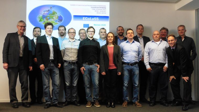
With GAF (Germany), SIRS (France), Joanneum Research (Austria), the Catholic University of Louvain UCL (Belgium) and the German Aerospace Center DLR-DFD (Germany), the international project team combines expertise of operational service providers and renowned research institutions from four European countries. The consortium and the European Commission (EC) have signed a Grant Agreement with a duration of 36 months, starting January 2017. The project team has conducted a successful Kick-off Meeting on 20 January 2017 in Munich, attended by the project officer from the EC REA (Research Executive Agency), and by key stakeholders from the European Environment Agency (EEA) and the German Federal Agency for Cartography and Geodesy (BKG).
Earth observation data
The unprecedented volume of freely available optical and radar earth observation data from the European Space Agency’s Sentinel-1/2/3 satellites with high spatial, radiometric and temporal resolution provides an enormous synergistic potential for the Copernicus Land Monitoring Service. Based on this, ECoLaSS will develop, test and demonstrate next-generation operational methods, algorithms and prototypes for innovative Copernicus land cover / land use related products, in support of a future pan-European roll-out, and with a potential for global-scale applications.
GAF acts as overall and scientific project coordinator of the ECoLaSS project. Its technical responsibilities comprise the assessment of service evolution requirements in close coordination with the main Copernicus Land stakeholders; prototypic implementation, testing and demonstration of candidate services based on Sentinel time series; as well as benchmarking and selection of most mature services for operational roll-out. Amongst others, GAF will lead the technical implementation of prototypes for incremental updates of the Copernicus High Resolution Layers (HRLs).

Value staying current with geomatics?
Stay on the map with our expertly curated newsletters.
We provide educational insights, industry updates, and inspiring stories to help you learn, grow, and reach your full potential in your field. Don't miss out - subscribe today and ensure you're always informed, educated, and inspired.
Choose your newsletter(s)


