Geospatial Astronauts
Encouraging Youngsters into the Surveying Industry
To reflect the changing nature of our industry and attract much-needed future talent, perhaps it’s time to rebrand surveyors as ‘geospatial astronauts’, writes Wim van Wegen in his latest column.
As all surveyors know, photogrammetry is a 3D coordinate measuring technique that relies on photographs as the data source. The fundamental principle used in photogrammetry is triangulation, which is almost as old as photography itself (which was invented over 100 years ago). Just like photography, it has evolved from an analogue technique into a digital one and is today based on digital imagery and computer vision. In a recent contribution, John Welter, president of geospatial content solutions at Hexagon, provides an interesting recap of airborne photogrammetry’s past, present and future.
The journey from the old analogue days to our modern digitized times has transformed almost every aspect of the world around us. For me personally, the advancements in space exploration are a great illustration of technological progress; just look at how far we’ve come since the early 1960s, when Soviet cosmonaut Yuri Gagarin became the first human to journey into outer space! His adventures sparked the imagination of countless youngsters around the world, who all dreamed of becoming an astronaut when they grew up. Yet 60 years later, at the start of this year, just 569 people had actually been in space – so it’s not exactly a realistic career choice.
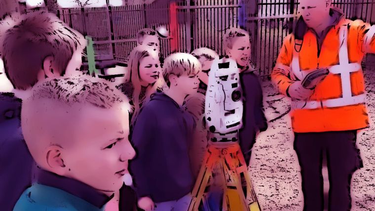
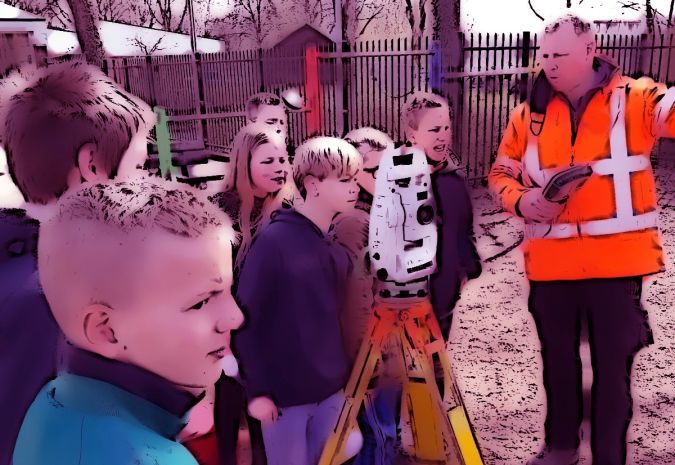
As the geospatial sector, we can offer inquisitive youngsters a more viable alternative. After all, many budding astronauts are attracted by the mystery of exploring new frontiers, combined with pushing the boundaries of what can be achieved using state-of-the-art technology. Photogrammetry is just one example of a technique that has been catapulted by digitization: revived and reinvigorated by the major leaps in computing power, the dazzling performance of today’s imaging sensors and advanced Structure-from-Motion (SfM) techniques, not to mention the growing use of unmanned aerial vehicles (UAVs or ‘drones’) to capture the spatial environment over the past decade. And let’s face it, now that drones are becoming a standard part of the surveying toolbox, it’s perfectly feasible that kids of today could end up earning a living as a drone pilot! Technological advancements such as these are rapidly changing the face of our whole industry – and there is still no end in sight. The profession is becoming more vibrant and dynamic than ever thanks to digitization, automation and even robotization – with the robot dog ‘Spot’ just one example of an exciting and attention-grabbing innovation with real-life applications.
And there is no doubt that skilled and qualified personnel will be vital for the geospatial industry in the years ahead. What once was a surveying engineer is now a spatial data manager or a geodata manager, according to Ulrich Hermanski, executive vice president of geopositioning at Topcon, in a recent interview in GIM International. Whether in photogrammetry or other areas, digital technology means that we now need technology-minded professionals with the right skills and interests to work with the resulting data. Perhaps it’s time to start referring to them as ‘geospatial astronauts’ instead?

Value staying current with geomatics?
Stay on the map with our expertly curated newsletters.
We provide educational insights, industry updates, and inspiring stories to help you learn, grow, and reach your full potential in your field. Don't miss out - subscribe today and ensure you're always informed, educated, and inspired.
Choose your newsletter(s)


