“Geospatial data is still not being used sufficiently to improve people’s lives”
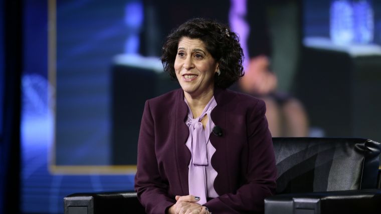
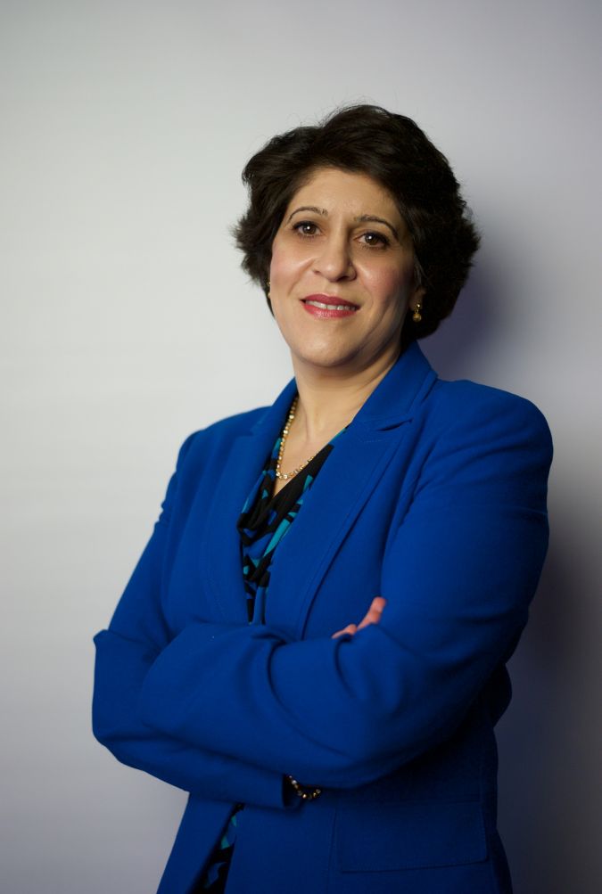
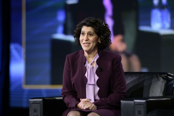
Interview with Dr Nadine Alameh, CEO, Open Geospatial Consortium (OGC)
In this exclusive interview, Nadine Alameh, CEO of OGC, reflects on three decades of GIS software and the importance of interoperability so that geoinformation can be used for the good of society.
By the mid-1990s, geographic information system (GIS) software was increasingly being used in the natural resources and defence domains. However, the high costs, inflexibility and inability to share geospatial data between systems was causing severe frustration, because users were forced to use inefficient, time-consuming and error-prone data transfer methods. This led to the foundation of the Open Geospatial Consortium (OGC) to develop international standards for interoperability. Today, the OGC community’s standards form the basis for building open interfaces and encodings into location-based products and services for use around the world. In this interview, Dr Nadine Alameh, CEO of OGC, reflects on the progress that has been made over the past three decades, and what still needs to be done to make geospatial information truly ‘findable, accessible, interoperable and reusable (FAIR)’ for the good of society as a whole.
The Open Geospatial Consortium was founded in the mid-1990s. How has the geospatial sector evolved since then?
To be honest, geospatial data has become so broadly used and is more cross-disciplinary than ever across so many industries, functions and domains that I’m not sure that there is such a thing as ‘the geospatial sector’ anymore. You can’t see it as a standalone industry – geospatial is everywhere. But for geospatial data to be truly useful, it always has to be related to a specific problem in a specific domain, such as transportation, aviation, agriculture or others. Global society is facing some major challenges, many of which are related to climate change, and geospatial data can play an important part in helping to address many of these. But no one has all the data, so we need to exchange it with each other. At the same time, BigTech companies now often have better data than governments. This is creating an interesting dynamic, forcing national mapping agencies to reinvent themselves and open themselves up to more collaboration as they realize that innovation has to come from public-private partnerships (PPPs). I think this makes it the best time to be in geospatial!
How is OGC keeping pace with this?
When we were founded 28 years ago, the aim was to create a neutral forum for government, academia and industry to collaborate on open standards for increased geospatial interoperability across all systems. The focus was mainly on the technical aspects of linking different systems in order to exchange data. But if you don’t change, you fail, so OGC has kept changing over the years, although for a long time we were still mainly known for our standards. Since I came on board three years ago, we have made a deliberate effort to shift away from the ‘what’ and focus more on the ‘why’: helping our members to collectively solve problems using geospatial data based on standards and innovation. Taking their problems as the starting point, we then look at which standards we already have, and which we still need to develop – because everything is all so new that relevant standards sometimes don’t even exist yet. Beyond that, we fill interoperability gaps with best practices on how to use the standards, and compliance tests to ensure that products or solutions are indeed using the standards properly. We are also intensifying our commitment to lowering the barriers so that people can leverage geospatial data across all industries. For example, we’ve now become cloud native, in recognition of how ‘the cloud’ is triggering a fundamental shift in how geospatial data is stored, shared, accessed, integrated and analysed. Overall, we’re working to modernize the foundation of our standards to make them more developer-friendly – more mass-market – so that you can mix and match geospatial APIs with other data to support your decision-making without being a geospatial expert. We hope that computer scientists, software developers and many others who have so far known it as ‘location data’ rather than ‘geospatial data’ learn to see us as the leading community with the tools, knowledge and data that can make it easier for them to connect the dots.
How is all this altering your membership base?
Our membership base is not only growing – from 450 to 580 in the past year – but also diversifying. In the past, industry, governments and academia each used to account for a third of the total, but now 42% of our members come from industry, and a lot of them are startups. We need to be as inclusive as we can, because geospatial is no longer in a corner. And this mix of young, innovative businesses along with the bigger, more traditional companies and governments will ensure that we keep moving forwards.
How is OGC contributing to the use of geospatial data for the good of society?
Well, geospatial data is critical in so many aspects of society; think of predicting and responding to climate change and natural disasters, for marine spatial data infrastructures to protect our oceans, and of course we all saw its role in monitoring and managing disease-spread during the COVID-19 pandemic. Our worldwide cross-disciplinary forum connects people, communities and technologies to help them solve these global challenges and address everyday needs. And our mission of making the building blocks – i.e. geospatial data – ‘Findable, Accessible, Interoperable and Reusable (FAIR)’ using standards makes this concrete. Above all, because our standards are open to all other people and organizations besides just our members, OGC ends up accelerating the benefits for everyone. On average, 70% of the time in data-integration projects is spent on preparing the data, so by making it easier for organizations – and even non-geospatial experts – to access usable data to solve these problems, we’re saving them tons of money and tons of time. Besides that, I think it’s important to point out that having so much data also comes with a certain responsibility. We’re proud of being one of the first organizations to sign the Locus Charter, which promotes the responsible use of location data, and we regularly hold sessions to create awareness of the ethical use of data among our members and flag areas that could be abused.
But I guess your organization can’t do this alone?
That’s right! We’re the experts in geospatial, but we can’t be the experts in every domain. Take a smart city project, for example; it involves a wide range of aspects like sensors, weather, energy and moving features. Therefore, besides our members, we have around a hundred alliance partners: both at the technical level and domain experts. This way, we can involve the relevant specialist partners right from the start. Moreover, issues like climate change are not limited to the developed world, so we’re keen to help developing countries get up to speed too. This entails working at the highest level of government, such as with ISO, IHO, USGS, NASA, ESA and UN-GGIM. But while we’re active on a global level, the immediate problems are usually local. This is where our regional forums come in, supporting conversations and actions on things like the Green Deal and Horizon 2022 in Europe, the new Geospatial Data Act in the USA, the Arctic SDI in Canada, capacity building and the translation of documents in Latin America, and so on. Besides that, we host around 70 different working groups across multiple domains, from disasters and climate to digital twins. This approach enables our members to find others with similar issues and objectives, come together and dig deeper or share insights into specific use cases – whether in their domain or in their region. As part of our commitment to openness and knowledge sharing, any employee of any member organization – large or small – can use the portal to search for other members, attend the quarterly member meetings around the globe – which are great for networking in addition to the actual sessions, by the way – and join any of the working groups. I’ve noticed that startups particularly are benefiting from being part of this community in terms of gaining greater credibility and trust. Plus complying with recognized international standards makes it easier for potential customers to connect with them, both technically and non-technically.
How well is the geospatial industry currently helping to make data FAIR? And what more needs to be done?
Technology is continuing to advance rapidly and innovations are increasing – such as cloud computing, edge computing, 5G, IoT, artificial intelligence and space exploration – but the costs of disasters are also increasing, so it seems that data is still not being used to the extent it could to improve people’s lives on this planet. ‘FAIR’ summarizes the reasons why: information is often still hard to find, hard to access, hard to integrate and it’s hard to repeat what has worked in the past. This was very evident during the recent flooding in Germany and wildfires in California; homes and lives were destroyed simply because the right information wasn’t available in time, or if it was, nobody knew what to do with it fast enough. I think one of the reasons we’re not making enough progress is that many companies are still too opportunistic and led by the quest for a short-term return. We can achieve a lot more by working together, but still too few business managers think like this. So we need more leadership; it’s about taking a long-term view. This holds true for governments too, by the way, who are still the largest customers for geospatial projects. Ideally, they should be more assertive in encouraging the companies they fund – and especially the startups – to join organizations like OGC so that whatever they’re working on fits into the larger ecosystem before it all becomes a big mess. Because interoperability isn’t a short-term problem. Let’s be honest… it’s pretty easy to build something that will work as a standalone solution, but then we just end up with multiple data sources that don’t talk to one another. We’re seeing single-mission satellite projects, for example. But where’s the big-picture thinking and sense of global corporate responsibility? We will have to sit down and make the data interoperable at some point, and it’s easier to do it now rather than in five years’ time when it will be more costly. That requires more commitment to collaboration upfront and more engagement so that the right kind of people can be involved in developing the standards from the start. Only then can we start harmonizing the silos and ensuring they can talk to one another. This will accelerate innovation and grow the pie for everybody.

What does the process for developing a new international standard entail?
Producing an OGC standard used to involve a very formal and pretty lengthy international consensus-based process of technical content-development followed by intense review and formal vote, managed by four committees. However, things are moving so fast in 2022 that no one can afford to waste any time nowadays, so we’ve flipped the process and made it a lot more agile. In our Innovation Program, a standard can be initiated by any group of members. They get together and work in a collaborative R&D process on real-world geospatial challenges in a series of sprints, on a series of testbeds or pilot projects. The documentation of their work becomes a developer-friendly standard, including code, examples and reusable snippets. The testbeds are for technical experimentation like API development, AI and machine learning, streaming of 3D data, coordinate reference systems for space, sensor integration and cloud-native experimentation – it’s some pretty futuristic stuff! This allows experts worldwide to accelerate innovation by testing their products and ideas in practice. And the ultimate aim is of course to develop a blueprint so that, in the case of a flood or other natural disaster, you can access decision-ready information under time pressure so that you don’t have to start from scratch each time. We currently have 30 different members who are working on developing such a blueprint for flooding, and there are plans to do the same thing for wildfires, droughts and pandemics.
What is OGC’s involvement in the Metaverse Standards Forum that was launched earlier this year?
The metaverse is perhaps the ultimate distributed digital twin of the world: not just simulating the real world in 3D, but actually replicating it in a fully immersive 4D environment that blurs the lines between real and synthetic. However, the metaverse is not a single thing but, like the internet, is a collection of platforms and technologies. As such, to ensure everything interoperates to form a cohesive whole, open standards, knowledge and best practices will be absolutely fundamental to its success. However, being a novel technology, many of the standards that will be needed to solve problems in the metaverse don’t exist yet. That’s why we co-founded the Metaverse Standards Forum. Geospatial data will be essential in the metaverse: Earth observation data, 3D elevation data, transportation data, building information, tree counts, digital twins of the ocean, of urban areas and so on. And the OGC community can contribute expertise in 3D, modelling and simulation, AI, streaming, augmented and virtual realities, routing, mapping and more – all at scale. Therefore, we are starting a Geo for Metaverse working group to facilitate conversations with designers and developers in the metaverse community about the use of real-time geospatial data, including in gamification applications. From the wind blowing through the trees to the waves on the water, the effects can be based on real data rather than just a replica… the possibilities are huge and very exciting.
What are your ambitions for the future?
I want OGC to be seen as the home for everything related to geospatial data – a place where you can connect with others, decide which tech to use, find new startups, help to shape government strategies and contribute to developing standards… where you’re an active part of a community. I would like to see our membership double or even triple – not just for the numbers, but because a wider membership base will support the much larger ecosystem. And ultimately, I would like OGC to be known for our impact rather than our standards. Whether in the context of the climate or pandemics, I want us to accelerate the world’s understanding and resilience by ensuring that geospatial data is FAIR so that the scientists can focus on what they do best. If we can succeed in creating a foundation for cloud-native geospatial standards together, imagine the radical simplification of the effort and cost needed to share and use geospatial information. Imagine the explosion of innovation thanks to making the power of geospatial accessible to everyone. And imagine how capturing best practices for analysis-ready data and decision-ready information workflows in blueprints could improve avoidance and mitigation efforts to protect more people on our planet from future disasters!
About Dr Nadine Alameh
Dr Nadine Alameh has been the CEO of the Open Geospatial Consortium (OGC) for the past three years. She graduated from MIT with a PhD in Information Systems Engineering, and two master’s degrees in Civil Engineering and Urban Planning with a concentration in Geospatial Information Systems. She also holds a BSc in Computer Engineering from the American University of Beirut. Prior to OGC, Dr Alameh’s industry roles included chief architect for innovation at Northrop Grumman, CEO of an aviation data startup and senior advisor to NASA. She is a member of the US National Geospatial Advisory Committee (NGAC) and sits on the board of the UN Committee of Experts on Global Geospatial Information Management (UN-GGIM) Private Sector Network.

Value staying current with geomatics?
Stay on the map with our expertly curated newsletters.
We provide educational insights, industry updates, and inspiring stories to help you learn, grow, and reach your full potential in your field. Don't miss out - subscribe today and ensure you're always informed, educated, and inspired.
Choose your newsletter(s)


