HERE and Unifly to Develop Airspace Map for Drones
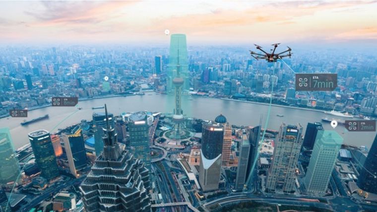
Rich and accurate data sources will be vital for safe drone transportation. In the autonomous world, ground and airborne vehicle traffic will need coordination to ensure safety and efficiency, the challenge of managing traffic in low-altitude airspace. To help meet these needs, HERE Technologies, a global leader in digital mapping, and Unifly, a leading provider of Unmanned Traffic Management (UTM) software, are teaming up to jointly enable airspace maps for drones.
In the first phase of their collaboration, the companies plan to enable an airspace map for drones that covers both rural and urban areas, and marks out no-fly zones, such as airports, residential areas and sensitive government installations.
Drone traffic flow
In the second phase, the companies plan to further develop the system to support the management of drone traffic flow and even collision avoidance, much like air traffic controllers do for the airline industry today. Longer-term, the aim is to explore how drone transportation and logistics can be integrated seamlessly into the broader transportation system.
The Unifly UTM platform connects relevant local and aviation authorities with drone pilots to safely integrate drones into the airspace. HERE, meanwhile, is developing the Reality Index, a rich real-time digital representation of the physical world. Based on the companies’ commercial agreement, Unifly will integrate HERE map and location data from the Reality Index into its applications to provide a more and more robust picture of the low-altitude airspace.
Real-time sensor data
A drone generally needs a map from the ground up to an altitude of about 150 metres; in future, a flying taxi may need the map to extend higher. Drones need to take into account obstacles, buildings and people’s privacy. As airborne objects, they are also subject to various airspace regulations.
For drones to operate safely and predictably, access to rich and accurate data sources is paramount. These data sources must also be kept updated to ensure usefulness. Just as HERE today turns the real-time sensor data generated by millions of vehicles on the road into map information and new location services for drivers and passengers, drones themselves could also be employed to enable the self-healing of the airspace map. Equipped with various sophisticated sensors, drones could detect changes in the real-world environment and feed data back to the cloud to support map updates.
By aggregating data from many drones, the airspace map could also be enriched with precise information about hyperlocal weather conditions, potential hazards and the best navigable routes.
Reality Index
Leon van de Pas, senior vice president Internet of Things at HERE Technologies, said drones will be the ultimate users of the Reality Index, the rich real-time digital representation of the physical world HERE is creating. Combining the location technologies with the drone traffic management expertise of Unifly, helps to shape the future of this growing industry.
Marc Kegelaers, CEO of Unifly, said new mapping technologies will make it easier to tell a drone and its operator where they can viably, safely and legally fly. This is needed if, one day, drones are to be flown remotely out of the view of their operators. And it will be even more essential as autonomously-flying drones become more prevalent. Boosting the situational awareness of drone traffic will

Value staying current with geomatics?
Stay on the map with our expertly curated newsletters.
We provide educational insights, industry updates, and inspiring stories to help you learn, grow, and reach your full potential in your field. Don't miss out - subscribe today and ensure you're always informed, educated, and inspired.
Choose your newsletter(s)


