
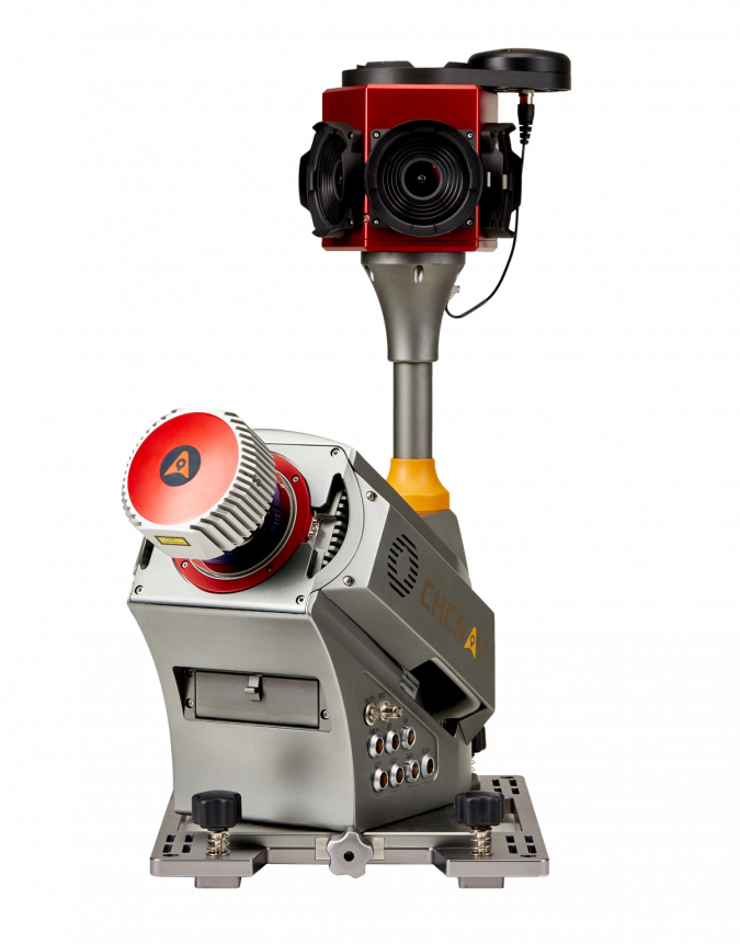
High-Performance 3D Mobile Mapping Solution
CHC Navigation provides geospatial professionals with a high-performance, vehicle-independent mobile mapping solution for capturing mass data in constantly evolving global environments. Projects are completed faster and more accurately to increase return on investment. The Alpha3D combines an advanced long-range, high-speed, precise laser scanner, a high-resolution HDR panoramic camera in combination with cutting-edge GNSS receiver and high-precision IMU. All in one compact and lightweight, yet robust instrument. All these features make Alpha3D one of the most innovative systems on the market today.
(This story is brought to you by CHC Navigation)
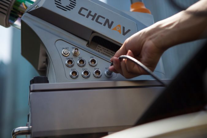
High-performance laser scanner
Long range scanning up to 420m. Extremely high speed scanning of 1M points per second. High density of point clouds, even when driving at high speed. Superior quality point cloud with low range noise.

High resolution 360° image
30 MP HDR panoramic camera with superb image quality. Fully calibrated point clouds and panoramic images. Additional image sensors can be added to obtain additional information relevant to the application needs.
CoProcess software to manage scanning projects
Intuitive and feature-rich user interface. Semi-automated feature extraction. Powerful engine that can support massive data processing. Easily export extracted information to CAD or GIS deliverables using our software plug-ins.
Vehicle independent platform
Whatever the task is, the Alpha3D is easily mounted on a variety of platforms, including many different types of vehicles, trains, rail trolleys and boats. It quickly and efficiently collects precise, high-density point clouds and powerful image data, but also adds extra information from additional sensors, such as a high-resolution camera, thermal camera, echo sounder or an additional profiler.
Get new revenue and increase ROI
With Alpha3D, users can collect more data faster and reduce the time spent in the field by more than 40% compared to traditional survey instruments. The combination of point clouds and high-resolution imagery, along with information from additional sensors, eliminates the need to return to the site for further measurements. With multiple measurement data types, professionals can expand their business into new industries and applications.
Learn more on the Alpha3D mobile mapping solution here!

Value staying current with geomatics?
Stay on the map with our expertly curated newsletters.
We provide educational insights, industry updates, and inspiring stories to help you learn, grow, and reach your full potential in your field. Don't miss out - subscribe today and ensure you're always informed, educated, and inspired.
Choose your newsletter(s)


