Hydrospatial Technology: Collaboration Expanding Globally to Address Escalating Needs
Hydrospatial could be described as that portion of geospatial knowledge infrastructure that addresses the hydrosphere, and hydrospatial technologies support navigation, economic development, stability, security and defence, resilience and scientific research. Here, Mark Smits, Woolpert’s geospatial programme director and a senior associate, sheds his light on the trends and developments he sees in the hydrographic industry.
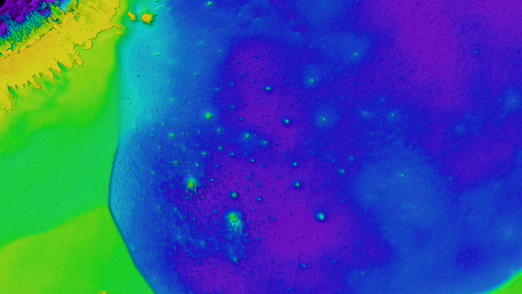
The last few years have been historic for hydrospatial technologies, providing access to high-quality geospatial data that supports the research and analysis of our oceans, seas, coastal areas, lakes and rivers. The growth and diversity of geospatial data in the maritime domain is escalating at an unprecedented pace, as coastal and inland waters impacted by climate change are being mapped and monitored with greater precision and frequency.
I have been working in this domain for the last 6 years, after getting my start 14 years ago as an airborne sensor operator. I focused primarily on U.S. federal civilian projects for Woolpert prior to becoming the operational lead and project manager on a high-flying Lidar sensor development programme for the Army Geospatial Center. In Mississippi, through a joint venture between Woolpert and Optimal Geomatics (WMR-532), our team supports the Joint Airborne Lidar Bathymetry Technical Center of Expertise and its efforts with the U.S. Army Corps of Engineers’ National Coastal Mapping Program and the Naval Oceanographic Office’s Airborne Lidar Hydrography branch.
Addressing Governments’ Geospatial and Hydrographic Needs
Working with JALBTCX jump-started my curiosity about all things ocean, shallow water and coastal zone. Since then, working with our team and partners, it has been my great pleasure to execute airborne Lidar bathymetry projects across the globe, testing and evaluating satellite-derived bathymetry, unmanned aircraft systems and other derived bathymetry techniques. By consulting with officials at all levels of government, we are helping craft solutions to address their coastal, riverine and shallow-water geospatial and hydrographic needs.
Hydrospatial technologies have had recent challenges, as new capabilities have prompted questions about how we think about data requirements, information needs and decision criteria. Also, local populations are increasingly engaged in decisions regarding their ability to build, maintain and persevere along coastlines and waterways. We need to help them to answer questions such as: Should we spend to replenish our beaches? Should we harden our infrastructure? Should we invest in other resilience solutions? Do we need to plan for relocating homes, businesses and communities?
Hydrospatial Collaboration and Innovation
In response to the Covid-19 pandemic, the last year has seen increased health and safety engagement and visibility worldwide. This has also spurred collaboration and innovation as we all endeavour to build a more sustainable, more resilient world. In the U.S., we’re seeing better cooperation across states, as coastal engineers and scientists conduct environmental monitoring for independent and combined local, state and federal initiatives. The biggest example of this focused collaboration is the Ocean Decade, designated as 2021–2030 by the United Nations, which has a vision to: “develop scientific knowledge, build infrastructure and foster relationships for a sustainable and healthy ocean.”
As we move forward, I see hydrospatial needs escalating, exceeded only by the enthusiasm in our industry to address these needs and embrace the Fourth Industrial Revolution and its blending of the physical, digital and biological worlds. More personally, where the water meets the land is always where I want to be. After all, it brought me to Mississippi, where I have started a family, helped open an office, expanded my firm’s hydrospatial offerings, and worked alongside clients and colleagues.
The rise of hydrospatial technologies invites the curious and the hard working, the engineers and the sailors, the mechanics and the scientists. It is hard to find an industry that scales globally so easily, and yet involves so many professionals, peoples and solutions. I am honoured to be a part of this effort every day.


Value staying current with geomatics?
Stay on the map with our expertly curated newsletters.
We provide educational insights, industry updates, and inspiring stories to help you learn, grow, and reach your full potential in your field. Don't miss out - subscribe today and ensure you're always informed, educated, and inspired.
Choose your newsletter(s)


