ISPRS Supports Mapping Project in Africa
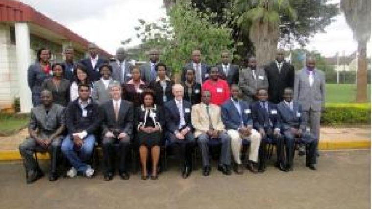
The ISPRS Foundation has provided support for a workshop on the use of commercial satellite imagery to support UNEP’s National Environmental Atlases and UN-HABITAT’s Lake Victoria Urbanisation Initiative. The workshop was held at the Regional Centre for Mapping for Resource Management (RMCRD) in Nairobi, Kenya, from 29th November to 1st December 2011.
The purpose of the workshop was to enable participants to understand the requirements to support the development of urban planning maps for the Lake Victoria region and to build capacity amongst local planners to enable them to use GIS and remote sensing in their work. More importantly, the workshop brought together key international, regional, sub-regional, UN, national, academic and local organisations around the same table to develop a strategy on how this group could collectively support the Mapping Africa for Africa (MAfA) initiative.
The workshop and training session were unique in that the urban planners from Kenya, Tanzania and Uganda were provided with high-resolution commercial satellite imagery of their local areas and were trained to address real issues in their local area of work. Speakers came from RCMRD, EIS-Africa, UN-HABITAT and UNEP as well as from the United States Department Of State.
This ISPRS-funded workshop was hugely beneficial to understanding the real needs of urban planners. Data access alone will not make a difference to these communities. The needs are great, but if organisations such as EIS-Africa can use their international and continent-wide networks to leverage broader financial and technical support, there is a real opportunity to make a significant, positive impact on the cities around Lake Victoria. However, any intervention must incorporate engagement with the East African Economic Commission, since some of the challenges raised pointed to the lack of local-level policies and legal frameworks in support of integrated urban planning.
Within the financial constraints articulated, the participants also examined the use of open source GIS software and participatory/volunteered geographic information systems as options to sustain the process. Customised training to meet the planners’ daily needs must be structured using the expertise of regional technical centres as well as universities such as Makarere. Students could assist in producing base-maps and for fieldwork. This would give students practical experience which could be accredited to their coursework and also serve to train urban planners.
This meeting was a reality check and an eye-opener for many who work at a regional or international level. It was agreed that a long-term partnership is needed and that other partners, such as ISPRS, should be brought in to contribute to long-lasting and positive change in the region.

Value staying current with geomatics?
Stay on the map with our expertly curated newsletters.
We provide educational insights, industry updates, and inspiring stories to help you learn, grow, and reach your full potential in your field. Don't miss out - subscribe today and ensure you're always informed, educated, and inspired.
Choose your newsletter(s)


