Making Linear Mapping Projects More Efficient
senseFly has launched senseFly Corridor, a new platform enhancement that vastly simplifies the mapping of linear infrastructure and sites using an unmanned aerial system (UAS or 'drone'). senseFly Corridor recently made its debut at AUVSI Xponential in Dallas, USA.
Corridor mapping is a common task for many geospatial professionals and crucial for the effective planning, design and analysis of linear infrastructure, as well as the monitoring of rivers and coastlines. However, using drones to carry out corridor projects – as an alternative to hiring expensive manned aircraft – has, until now, been a relatively complex job that contained some frustrating inefficiencies.
EVLOS and BVLOS
senseFly Corridor overcomes these hassles, providing a geometrically and logistically efficient method of mapping linear routes, said Francois Gervaix, senseFly’s lead product manager for surveying. With senseFly Corridor, commercial operators can easily plan an automated corridor mapping mission, containing one or numerous flights. This release is also future-friendly, as more operators gradually look towards gaining EVLOS and BVLOS permissions.
This corridor function is a fantastic development, said senseFly customer, Marc A. Cañas, GISP, vice president of National Freight Rail at Jacobs. The corridor mapping of rail routes is a large part of their activities, so his team is excited about the flight planning efficiencies and time savings this solution will bring.
Combined approach
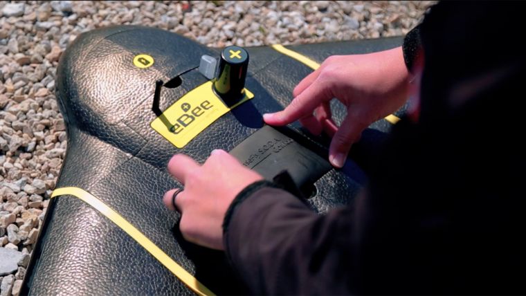
senseFly Corridor is a combined hardware and software solution, which is optimised for any eBee Plus UAV that carries a senseFly S.O.D.A. photogrammetry camera. It includes a camera integration kit, which houses the senseFly S.O.D.A. in a longitudinal (portrait) position, and a new corridor mapping ‘mission block’ within senseFly’s eMotion 3 ground station software. This combined approach offers three benefits:
Better ground resolution
A vertical camera position allows operators to fly the eBee Plus closer to the ground, while still achieving the image overlaps their digital outputs require. The result of flying lower is lower ground resolution, of down to 1.5 cm (or 0.6 inches) per pixel.
Fewer images = shorter processing times
Compared to using a normal, landscape-position drone camera, senseFly Corridor can map the same linear route using 30% fewer images. This means 30% shorter image processing times after a flight.
Makes corridor mapping easy
eMotion 3’s Corridor Mapping mission block makes linear mapping jobs easier than with any other solution: simply load a KML, shape file or background map, define your target corridor (clicking once each time the route changes direction) and specify the corridor width and ground resolution you require.

Value staying current with geomatics?
Stay on the map with our expertly curated newsletters.
We provide educational insights, industry updates, and inspiring stories to help you learn, grow, and reach your full potential in your field. Don't miss out - subscribe today and ensure you're always informed, educated, and inspired.
Choose your newsletter(s)


