Microdrones Releases mdLiDAR3000 for Improved Lidar Imagery
This article was originally published in Geomatics World.
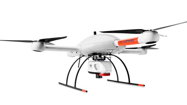
Microdrones has announced the launch of mdLiDAR3000, its newest Lidar system that combines the heavy lifting power of the md4-3000 drone with a RIEGL Lidar and a Sony camera for rapidly producing 3D colourised point clouds. The UAS can carry more, fly longer and reach higher. Higher payload capacity makes it ideal for handling heavy Lidar sensors, advanced mapping-grade cameras and multiple sensors.
In addition to this new flagship Lidar product, the Microdrones team has added new systems to round out its mdMapper lineup: the mdMapper1000PPK and mdMapper1000+. Each of the five mdMapper systems is outfitted to deliver turnkey aerial surveying, mapping and data collection, tailored to the needs of the customer, ranging from the mdMapper1000DG to the mdMapper200.
The mdMapper1000DG, uses direct georeferencing where customers are able to save time by using fewer or no ground control points for more productivity. Meanwhile, the mdMapper1000+ is very suitable for those who do not need DG or PPK and are willing to install ground control points on site for their projects.

Value staying current with geomatics?
Stay on the map with our expertly curated newsletters.
We provide educational insights, industry updates, and inspiring stories to help you learn, grow, and reach your full potential in your field. Don't miss out - subscribe today and ensure you're always informed, educated, and inspired.
Choose your newsletter(s)


