New Pythagoras 15 with Automated Point Cloud Vectorisation Tools
Pythagoras 15 is the latest release by the company Pythagoras. Apart from the well-known drawing and calculation tools and the DTM and geocoding features, Pythagoras 15 has been designed with an eye on the future: it is equipped with easy-to-use analytical tools for point clouds and images.
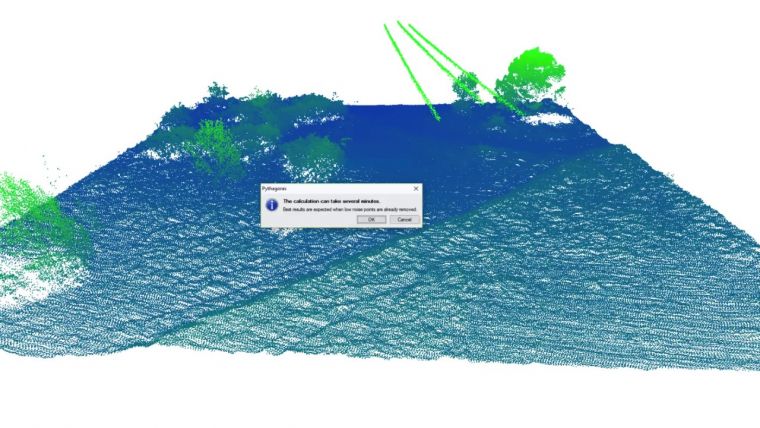
One-click vectorisation and ground classification tools give quick and accurate results without users getting lost in parameters and settings. Basically, Pythagoras 15 sets the parameters. Combining these point clouds with other data types coming from TPS, GPS and other instruments makes Pythagoras a ‘mapping solution for all your geodata’, according to the company.
A demo video of Pythagoras 15 can be found here.

Value staying current with geomatics?
Stay on the map with our expertly curated newsletters.
We provide educational insights, industry updates, and inspiring stories to help you learn, grow, and reach your full potential in your field. Don't miss out - subscribe today and ensure you're always informed, educated, and inspired.
Choose your newsletter(s)


