New Version of PlanetSAT 15 Global Imagery Basemap Launched
PlanetObserver, a French provider of geographic information products including satellite imagery, orthophotography and elevation data, has presented v4.2 of the PlanetSAT 15 global imagery product with up-to-date and cloudless data. PlanetSAT 15 is a global basemap with 15-metre resolution offering very high visual quality and advanced colour balance, together with recognised geometrical accuracy.
Version 4.2 of PlanetSAT 15 natural colour global mosaic presents two major benefits: 1) Up-to-date imagery from 2013 and 2014 for hundreds of cities across the world; and 2) Cloudless data, even in tropical regions of Southeast Asia, Africa and South America.
Originally processed from Landsat 7 data, PlanetSAT 15 has been updated with many recent Landsat 8 images. Hundreds of cities across the world have been refreshed with satellite imagery from 2013 and 2014.
Another major feature concerns the removal of thousands of square kilometres of clouds on all emerged lands. To achieve this huge task, hundreds of raw Landsat scenes have been carefully selected, millions of pixels have been processed and merged seamless and homogeneously in PlanetSAT 15 product.
Geographic information
Version 4.2 of PlanetSAT 15 is a strong value-added product that provides high quality geographic information essential for many projects and solutions. For a global or continental coverage, or any area of interest, the quality of PlanetSAT 15 satellite imagery constitutes a major asset to give value to professional projects across a wide range of sectors: visualisation and simulation solutions, both commercial and military, GIS applications, web-mapping, audiovisual and mapping production, etc.
Laurent Masselot, CEO of PlanetObserver, stated this new version of PlanetSAT 15, PlanetObserver flagship product, is a major step in the production programme of strong value-added imagery products. It is absolutely in line with customers’ and partners’ needs for up-to-date and cloudless data. The extension of PlanetSAT range will also continue during 2015 with new Landsat 8 country mosaics totally additional to PlanetSAT 15 v4.2 imagery basemap, he further explained.
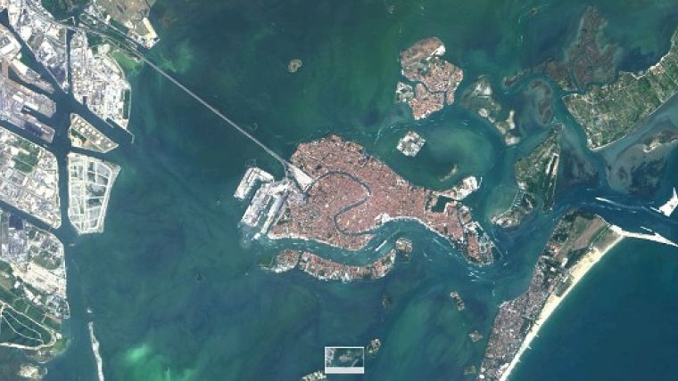
The image shows 15m resolution PlanetSAT imagery of Venice, Italy. (Courtesy: PlanetObserver)

Value staying current with geomatics?
Stay on the map with our expertly curated newsletters.
We provide educational insights, industry updates, and inspiring stories to help you learn, grow, and reach your full potential in your field. Don't miss out - subscribe today and ensure you're always informed, educated, and inspired.
Choose your newsletter(s)


