Paris Fifty Years On
In the shadow of the Eifel Tower, the 25th International Cartographic Conference (ICC) and 15th General Assembly of the ICA was held from 3rd to 8th July at the Palais des Congrès, Paris, France.
The first General Assembly was held in Paris fifty years ago, and from there the event has made its way all over the world. A lot has changed in those fifty years, and cartography has become deeply integrated into public life. Many participants probably arrived at the meeting by public transport with the help of public transport maps. Behind the apparently simple metro or airport map there lies a complete science, something a lot of people do not realise. Collecting geospatial information is challenging, although just as challenging is presenting the information in a manner understandable to a specific audience.
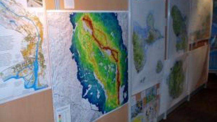
The many aspects of cartography were amply demonstrated during ICC in Paris by the many participating scientists, professionals, academics and other persons associated with the cartographic industry. A wide variety of different kinds of maps and charts from many nations were on view in the International Map exhibition area, including tourist maps, nautical maps, mountain maps, city maps among many others. Even children got their chance to create a map and present it to the international cartographic community.
The conference sessions covered an enormous range of cartographic topics, from data standards and projections to mapping planets, and even mapping ICA itself. Dr. sc. Tobias Dahinden of the Insitut für Kartographie und Geoinformatik in Hanover described how Wikipedia could be used to determine language areas: an interesting angle on cartography in combination with open-source databases.
Crowd-sourcing was a frequently recurring topic during the meeting, especially in relation to the growing popularity of sites such as Open Street Maps. Although this application uses a crowd to contribute to the collection of geographical data, crowd intelligence is not (yet) used to contribute to the visualisation and symbolisation of this kind of open-source project. Michael Auer introduced an interesting project to allow the public assist with the development of web-map styles.
This kind of initiative could, for example, be ideal in helping to communicate the right cartographic message to a diverse community; several research projects have shown how maps are differently interpreted according to gender, age, culture etc. Having more flexibility in the visualisation of presented spatial information could clarify it for an individual.
Overall, this ICC conference once again covered a wide cartographic spectrum, and it's definitely worthwhile putting a visit to the next in your agenda for August 2013 in Dresden, Germany.

Value staying current with geomatics?
Stay on the map with our expertly curated newsletters.
We provide educational insights, industry updates, and inspiring stories to help you learn, grow, and reach your full potential in your field. Don't miss out - subscribe today and ensure you're always informed, educated, and inspired.
Choose your newsletter(s)


