Premium Satellite Imagery via Google Earth Builder
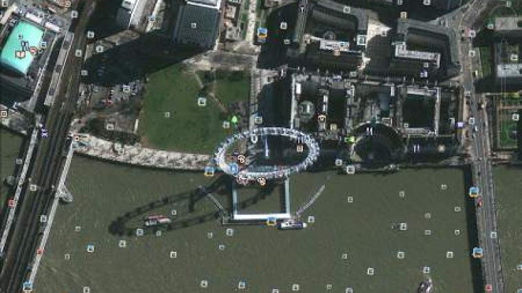
GeoEye has signed a multi-year enterprise agreement with Google Inc. to license access to Google Earth Builder, Google's cloud-based map publishing platform. GeoEye is making this investment as part of its strategy to increase online access to its high-resolution colour imagery. GeoEye will be using Google Earth Builder to deliver a new set of imagery services that will make it easy for any Google Earth or Google Maps user to access imagery across GeoEye's vast archive. GeoEye will position these new imagery services as an extension of its EyeQ online access portfolio.
Since 2008, GeoEye has worked with Google to publish millions of square kilometres of GeoEye-1 imagery to Google Earth and Google Maps. Google users have been able to take advantage of GeoEye's high-resolution satellite imagery to gain insight into the world. GeoEye is investing in Google Earth Builder because it provides a simple way to address the needs of many government and commercial customers who want access to GeoEye's broader archive and recent new collections. With over one billion downloads of Google Earth to date, this provides GeoEye a simple way to make its imagery accessible to a broader audience.
Tarun Bhatnagar, Google's head of Enterprise Geo Americas, said that Google Earth Builder is designed to let organisations upload, process and store their geospatial data in Google's cloud. Employees can use familiar tools, Google Maps and Google Earth, to easily and securely share and publish mapping data. Enterprise customers will benefit from the quick, cloud-based access to GeoEye's most current satellite imagery.
Tony Frazier, GeoEye's senior vice president of Marketing, said that this new offering will augment the imagery that the company currently makes available via Google Earth and Google Maps with premium access to the most recent collections and broader archive that contains over 500 million square kilometres of imagery.
GeoEye is launching a new publicly available Google Earth Builder layer to highlight examples of the ways GeoEye imagery is making a difference in the lives of individuals around the world. Recently, GeoEye's imagery, in partnership with the company's Foundation, helped researchers in Mali determine spatial measurements between bodies of water and health centres in areas plagued by malaria. The insight gained from the maps developed via this initiative will be shared with public health officials in Mali to help combat the disease.

Value staying current with geomatics?
Stay on the map with our expertly curated newsletters.
We provide educational insights, industry updates, and inspiring stories to help you learn, grow, and reach your full potential in your field. Don't miss out - subscribe today and ensure you're always informed, educated, and inspired.
Choose your newsletter(s)


