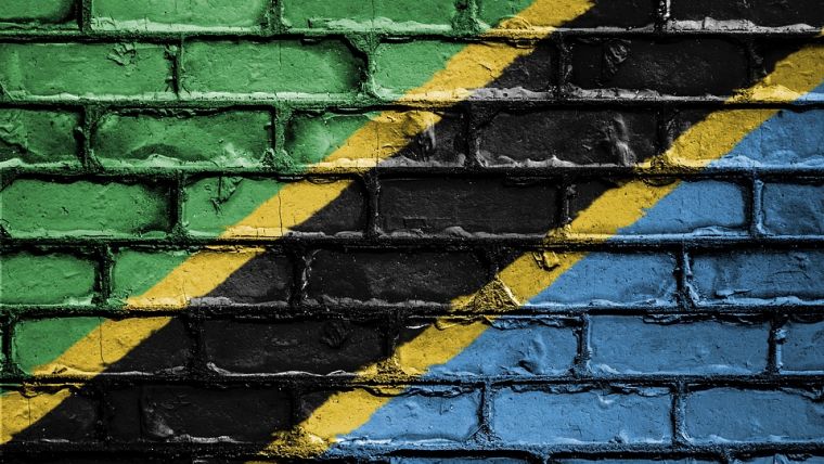
Promoting Improved Geospatial Capacity in Tanzania
Ordnance Survey International has been appointed by the World Bank to help build up geospatial data expertise in Tanzania. The mapping agency will do this through capacity building in data collection, data management and data application skills as well as transferring knowledge about geospatial principles and standards. It will run practical training workshops in both Dar es Salaam and Zanzibar.
Reliable and accessible data is one of the most effective tools to drive effective decisions, efficiency and accountability. The Government of Tanzania has made considerable progress in increasing quality, accessibility and transparency of information to aid progress in service delivery - particularly in education, health and other priority sectors.
Greater benefit from geospatial capacity
At the request of the Government of Tanzania, the World Bank has initiated a project that, as well as providing practical capacity building, will support the government by reviewing its existing policies and making recommendations to help build greater benefit from existing geospatial capacity. Ordnance Survey International, the international arm of Great Britain’s national mapping agency, has been appointed to deliver this project.
Edward Anderson, senior urban and disaster risk management specialist for the World Bank, said Tanzania has been making significant progress into the use of geospatial data in many areas including improving urban resilience. The Tanzania Urban Resilience Programme (TURP) has identified geospatial data as critical to the urban development of Tanzania, and the Tanzania Open Data Initiative regards geospatial data as a special category. Ordnance Survey will bring its unique blend of national data management, open data and government policy expertise to support Tanzania further to embed this into policies and operations, Anderson added.
John Kedar, Ordnance Survey’s director of international engagement, stated they are delighted to have been selected to support the Government of Tanzania in realising greater value from its geospatial data resources. His team looks forward to working with decision makers and practitioners across the Government to support its desire to use further its geospatial resources to help meet challenges as diverse as environmental planning and urban resilience.
This news follows OSI’s recent signing of a contract with the Ministry of Land Reform, Republic of Namibia, to support their Integrated Land Registration project.

Value staying current with geomatics?
Stay on the map with our expertly curated newsletters.
We provide educational insights, industry updates, and inspiring stories to help you learn, grow, and reach your full potential in your field. Don't miss out - subscribe today and ensure you're always informed, educated, and inspired.
Choose your newsletter(s)


