Quantum Physics to Disrupt Geospatial Industry over the Coming Decade
5 Questions to… Hansjörg Kutterer, DVW
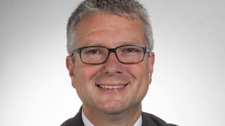
Innovative developments based on quantum physics will lead to further disruption of our professional field over the coming decade, predicts Hansjörg Kutterer who, besides being president of DVW, is also a professor of geodetic Earth system science. 'GIM International' asked him five questions relating to the challenges and opportunities in the geospatial industry, now and in the future.
2020 was an extraordinary year. How has the COVID-19 pandemic changed the way the industry operates, and which other factors are influencing the geospatial business?
The pandemic was and is extremely influential on our professional life. At very short notice, we had to considerably change our approaches from on-site and immediate to remote and fully virtual settings. Fortunately, we could benefit from the ongoing digital transformation. The existing digital infrastructure and established procedures based on digital communication and collaboration tools could be used in order to overcome obstacles caused by the pandemic. Thus, it was possible to provide effective substitutes in the given situation, such as digital meetings, digital conferences or digital teaching. Nevertheless, both technical capacities and personal capabilities needed rapid upgrades. Actually, the accelerated digitalization is both an opportunity and an obligation for the geospatial business, as work can generally be continued on a digital basis but very often relies on digital geospatial data.
Which new technologies do you foresee becoming important to your work?
This is going to be the decade of continuous Earth observation based on a sustainably maintained infrastructure and a comprehensive open-data policy. The European Copernicus system may serve as an example. Rapidly increasing amounts of heterogeneous geospatial data are obtained within very short time spans. These new opportunities are accompanied by the strong need for effective data management using integrated research data infrastructures, for example. Moreover, advanced data processing is required which comprises things like deep learning techniques. I also expect that innovative developments based on quantum physics will lead to further disruption of our professional field over the coming decade. Quantum sensors such as optical clocks will provide accurate height differences over large distances, and quantum computers will further speed up time-consuming computations.
Is the surveying profession able to attract enough qualified personnel?
The number of qualified personnel is becoming increasingly crucial for the further development of the surveying profession. Despite the broad appeal of our professional field and the high number of vacancies, there is still a lack of public visibility and thus limited awareness among potential candidates. For this reason, there have been various activities in Germany over the years aimed at reaching and attracting more young people to the industry. For example, the Instagram campaign #weltvermesserer has been launched in 2021 by a consortium consisting of all national stakeholders, including the private sector, administration, science and all relevant professional organizations. Both the expected impact of this campaign and the increasing interdisciplinary nature of our professional community will provide a good basis for tackling this sizeable challenge successfully.
What is your policy on crowdsourcing and open data?
Due to my academic role and my volunteer position within DVW, my answer is twofold. Open data policies are mandatory for a more comprehensive scientific, administrative or private exploitation of existing and newly incoming data. This definitely refers to all stakeholders who rely on geospatial data. Data generated and used in science and education must be open and available through efficient digital data infrastructures. Sustainable open-data initiatives and programmes are highly appreciated. Crowdsourcing offers the opportunity to collect data that is either outside the scope of public agencies or could offer an alternative to existing administrative data that is only available with a licence. The DVW organization encourages any initiative that advances the fields of geodesy, geoinformation and land management.
In terms of meeting your goals, what is the biggest challenge for your organization in the next five years?
As a university professor I am very aware of the increasing need of the professional community for enhanced capabilities in the digital transformation, in smart and integrated systems, in the widespread application of our contributions, and in interdisciplinary work. This needs to be further implemented in the curricula over the coming years, including effective digital settings and dedicated competence-oriented techniques. Actually, this is also linked to DVW’s activities, albeit from the perspective of a non-profit organization. As DVW, we offer professional expertise, conferences, post-graduate training, highly skilled working groups, and – last but not least – an attractive networking platform for our members, essentially based on volunteering. This needs to be sustainably maintained and further developed.

Value staying current with geomatics?
Stay on the map with our expertly curated newsletters.
We provide educational insights, industry updates, and inspiring stories to help you learn, grow, and reach your full potential in your field. Don't miss out - subscribe today and ensure you're always informed, educated, and inspired.
Choose your newsletter(s)


