Reconciling Multiple Representations
The last GIM report from the Commission on Generalisation and Multiple Representations was presented in April 2008. Since then, this active Commission has made regular moves to promote meetings, publications, online web forums and liaison with sister organisations, all addressing issues of multi-scale geospatial data archiving, representation and processing.
Changing Contexts
In the past, the Commission agenda has been primarily driven by research interests of NMAs, vendors and practitioners, but recent and contemporary discussion has addressed changing contexts of map use, developing technologies in data capture and dissemination via the web and through web-based services. Thus the most recent meeting, in Zurich in September 2010, focused on scenarios such as maps over mobile location-aware devices, where generalisation is used to control variable delivery of geographic information at different scales.
Generalisation
One paper addressed generalisation, on mobile phones, of patterns of overlay-point data on base mapping (e.g. multiple urban locations added to Google map displays); another, from China, discussed user interaction with mobile map displays of varying extents and levels of detail, leading to variable navigation strategies and competences. Also recognised are more customised environments and the specific demands of ‘on-demand’ mapping.
Evaluation
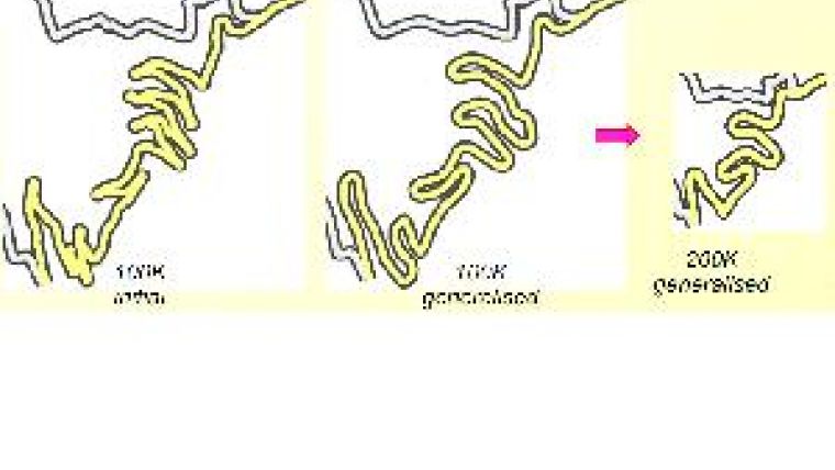
Long-standing topics of interest were also covered by the meeting. For example, evaluation of generalised output was reported in research papers on comparative map legibility at differing scales. A notable project based at its Center of Excellence in Missouri, USA addressed assessment of the effectiveness of automated methods implemented for hydrographic network generalisation on USGS mapping. Such evaluation may involve comparison with existing products or response to new contexts, including benchmarking of systems developed by National Mapping Agencies, or commercial off-the-shelf generalisation systems. A wide-ranging survey by EuroSDR of generalisation systems was reported, along with specific projects in Canada, implementation of in-house generalisation tools by the Turkish General Command of Mapping, developments in ArcGIS software, and new environments for generalisation realised at IGN, Paris.
Conceptual Approaches
Fundamental conceptual approaches to generalisation have resulted in a mixture of operators and approaches. Graphical simplification algorithms were considered, enhanced by constraint-based techniques; simulated annealing was compared to a new ‘Ant Colony’ optimisation approach in a novel paper from Glamorgan University. Attempting to dissect the process of ‘design’ in this way can also involve exploring deeper issues of a language of scale, and the semantics of map generalisation. The use of the Semantic Web to help create a Multiple Representation Database was demonstrated, along with a practical experiment to help define the meaning and location of some geospatial objects important to generalisation.
June Meeting
The remaining sessions covered introductory overviews, including the role of generalisation in INSPIRE, and some specific data pre-processing methods. A further meeting of the Commission will take place immediately before the 2011 International Cartographic Conference, at IGN Paris in late June this year. More details on the Commission webpage at website 1.

Value staying current with geomatics?
Stay on the map with our expertly curated newsletters.
We provide educational insights, industry updates, and inspiring stories to help you learn, grow, and reach your full potential in your field. Don't miss out - subscribe today and ensure you're always informed, educated, and inspired.
Choose your newsletter(s)


