Review of the 2nd Virtual Geology Conference
Where Geomatics Meets Geosciences
At the 2nd Virtual Geology Conference (VGC 2016) from 22-23 September 2016, geomatics met the geosciences in the beautiful fjord town of Bergen in western Norway. This follow-up to the VGC 2014 in Lausanne, Switzerland, which at that time was named the ‘Vertical’ Geology Conference, established the beginnings of a biannual VGC conference series. The conference is intended as a multidisciplinary forum for researchers in geosciences, geomatics and related disciplines to share their latest developments and applications in the growing field of close-range data collection techniques.
(By Tobias Kurz, VOG Group, Uni Research AS, Norway)
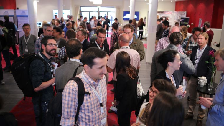
VGC 2016 was hosted by the Virtual Outcrop Geology (VOG) group at Uni Research in Bergen. Conference chair Simon Buckley was supported by his team of Nicole Nauman, Tobias Kurz and Christian Eide. Over 140 participants from more than 25 countries attended, facilitating a technical programme of 12 conference sessions including 41 oral presentations, 56 poster presentations, 5 interactive presentations, 2 keynote speakers and a closing plenary discussion.
The cross-disciplinary conference theme brought together a mix of researchers: geologists, geomorphologists (landslide, coastal, glacial, periglacial), volcanologists, photogrammetrists and computer scientists involved in visualisation and virtual reality. The keynote speaker Lars Harald Blikra (Norwegian Water Resource and Energy Directorate) emphasised the importance of geomatics in geohazard management in Norway. He presented a number of cases from Norway, integrating different mapping and monitoring methods to understand landslide processes and estimate risk and uncertainty. The second keynote speaker of the conference, Helwig Hauser (University of Bergen), linked the conference theme to computer sciences. He demonstrated that innovative visualisation can provide more than nice graphic visualisation, in that it allows analysis and understanding of complex data and presents information which is otherwise difficult to extract.
Two presentations were particularly memorable. Sam Thiele (Monash University, Australia) analysed lava-dome growth by applying photography and thermal imaging. This presentation indicated the potential of thermal imaging techniques in close-range geoscience applications, a field which is seeing growing interest at the moment due to the increasing availability of acceptably priced instruments. The group of Demetrius N. Alves (Vale do Rio dos Sinos University, Brazil) presented a fully immersive 3D virtual reality environment using a head-mounted display which allows users to immerge themselves in a fully virtual world. This new generation of 3D model visualisation allows, for example, virtual geological exploration of outcrop models complete with interactive measurements and mapping.
Two short courses were held the day prior to the conference. The Virtual Geoscience course led by Simon Buckley and Tobias Kurz gave an overview and better understanding of the advantages and limitations of 3D modelling techniques such as terrestrial Lidar and SfM photogrammetry including various visualisation opportunities. Participants were also introduced to the use of ground-based hyperspectral imaging to complement 3D models with complex material information. The second course was held by Daniel Girardeau-Montaut (CloudCompare project), one of the creators of the freely available 3D point-cloud processing software CloudCompare which has become a standard tool in the geosciences. Participants learned more about point-cloud processing and how they can apply CloudCompare in their own projects.
The organising committee would like to thank all partners and sponsors for their support. Thanks particularly to the significant interest from researchers, and to the deputies from public authorities and industry, this gathering was a great success and the organisers look forward to welcoming and seeing all presenters and participants again at the next VGC event.

Value staying current with geomatics?
Stay on the map with our expertly curated newsletters.
We provide educational insights, industry updates, and inspiring stories to help you learn, grow, and reach your full potential in your field. Don't miss out - subscribe today and ensure you're always informed, educated, and inspired.
Choose your newsletter(s)


