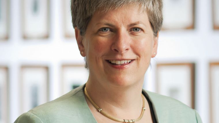
5 Questions to... Vanessa Lawrence
As a member of the Bureau of the United Nations Committee of Experts on Global Geospatial Information Management (UN-GGIM), Dr Vanessa Lawrence is a well-known and widely recognised representative of our profession. GIM International asked her 5 questions about achievements and developments.
Why does UN‑GGIM exist?
UN‑GGIM acts as the formal intergovernmental mechanism to discuss, enhance and coordinate global geospatial information management activities by involving the Member States of the UN at the highest political and official level. It plays a leading role in making joint decisions and setting direction on the use of geospatial information within national, regional and global policy frameworks through its very effective regional structure. UN-GGIM works regularly with governments to help them improve their knowledge of appropriate policies, institutional arrangements and legal frameworks. In addition, it addresses global issues and contributes to collective knowledge. This is presently most notable with the Post-2015 Sustainable Development Agenda. UN‑GGIM is also working towards developing a comprehensive knowledge base and it has established and recommended standardised approaches that should be taken to assist development of a country’s geospatial infrastructure. Finally, it provides a forum to liaise and coordinate between the Member States and relevant international organisations such as FIG, ICA, GSDI and ISPRS.
How big is the support for this development?
As well as having a formal mandate from the Economic and Social Council of the United Nations, UN‑GGIM is guided by the UN-GGIM Bureau who are all elected by the Member States. Working alongside me on the Bureau are Dr Li Pengde from China, Dr Eduardo Sojo from Mexico and Mr Sultan Mohamed Alya from Ethiopia. 134 different UN Member States have participated in the Committee of Experts to date, including many ministers and directors-general. This sends a very strong and positive signal that what is being discussed is important.
What are the achievements so far?
One of the initial focuses for UN-GGIM was to draw together a fragmented geospatial community; this has gone well thanks to UN-GGIM’s ability to connect geospatial information management to policymakers and leaders at all levels within a country. Another significant achievement is the endorsement by the UN General Assembly of the resolution on a Global Geodetic Reference Frame for Sustainable Development. This is the first resolution recognising the importance of a globally coordinated approach to geodesy. A further achievement has been the publication and endorsement of the report ‘Future trends in geospatial information management: the five to ten-year vision’. The report provides expert opinion on the developments in geospatial information and is seen as a strategic guide for governments wishing to invest in a geospatial infrastructure.
What’s currently on the agenda?
The priorities and work programme are driven by UN Member States themselves. Much of the focus currently surrounds the formulation of the Sustainable Development Goals that will be ratified by the UN General Assembly in September 2015. UN-GGIM has been very engaged with ensuring that it is well understood that in order to evaluate, measure and monitor these important goals and their targets, effective geospatial information must be used in many aspects. Some of the discussion topics include: sustainable development and the Post-2015 Development Agenda; the application of geospatial information for land administration and management; integrating geospatial, statistical and other information; and developing the global geodetic reference frame implementation roadmap.
Would a ‘land administration layer’ be a good idea?
UN-GGIM recognises the importance of land administration as both a driver of economic growth and social development and as being critical to the successful implementation of the sustainable development goals, which is why a new work item was proposed and introduced. Since August UN-GGIM has been working with Member States and a number of key international organisations to scope and prepare the work. This has included working with land and tenure experts from the World Bank, FAO, FIG and UN-Habitat.

Value staying current with geomatics?
Stay on the map with our expertly curated newsletters.
We provide educational insights, industry updates, and inspiring stories to help you learn, grow, and reach your full potential in your field. Don't miss out - subscribe today and ensure you're always informed, educated, and inspired.
Choose your newsletter(s)


